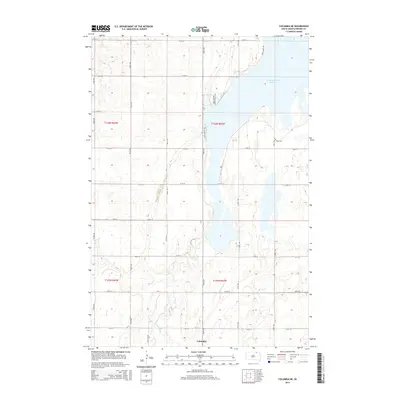
2015 Map of Columbia NE
USGS Topo · Published 2015About this map
The settlement of Columbia anchors this South Dakota landscape, situated at a bend where the James River snakes through the prairie. This 2015 survey reveals a terrain defined by both natural hydrology and managed water systems, most notably the expansive Columbia Road Reservoir. The map illustrates a methodical section-line road network, including Roetelle Rd, interspersed with dedicated recreational pathways such as the Prairie Winds Trail and the Sand Lake Display Pool EE Trail. The inclusion of the Auto Tour Rte suggests the area's importance for local wildlife observation and conservation efforts within the river valley. The James River itself is shown with intricate oxbows and marshy margins, highlighting the seasonal flux of this northern plains waterway.
Find a feature on this map
26 named features on this map. Tap any name to fly to it.
Don’t see what you’re looking for? This feature index may not catch every label — zoom into the map to look around manually.
Map Details
Editions of this 2015 Columbia NE Map
This is the sole edition of this map. No revisions or reprints were ever made.
Other maps of this area

1894 · Hecla
USGS Topo · 1:62,500

1894 · Columbia
USGS Topo · 1:62,500

1894 · Savo
USGS Topo · 1:62,500

1896 · Columbia
USGS Topo · 1:125,000

1952 · Columbia
USGS Topo · 1:24,000

1952 · Ordway
USGS Topo · 1:24,000

1952 · Columbia NE
USGS Topo · 1:24,000

1952 · Westport
USGS Topo · 1:24,000

1952 · Putney
USGS Topo · 1:24,000

1953 · Savo SW
USGS Topo · 1:24,000