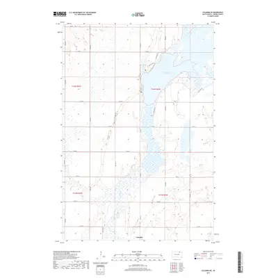
2017 Map of Columbia NE
USGS Topo · Published 2017About this map
The Columbia townsite anchors the southern edge of this landscape, where the braided channels of the James River move through a mosaic of wetlands and prairie. The river's path is heavily influenced by the presence of the Columbia Road Reservoir, which dominates the northeastern portion of the sheet. This area is defined by its wide, flat basin, typical of the James River Valley, where drainage patterns create a complex system of seasonal water bodies.
Find a feature on this map
24 named features on this map. Tap any name to fly to it.
Don’t see what you’re looking for? This feature index may not catch every label — zoom into the map to look around manually.
Map Details
Editions of this 2017 Columbia NE Map
This is the sole edition of this map. No revisions or reprints were ever made.
Other maps of this area

1894 · Hecla
USGS Topo · 1:62,500

1894 · Columbia
USGS Topo · 1:62,500

1894 · Savo
USGS Topo · 1:62,500

1896 · Columbia
USGS Topo · 1:125,000

1952 · Columbia
USGS Topo · 1:24,000

1952 · Ordway
USGS Topo · 1:24,000

1952 · Columbia NE
USGS Topo · 1:24,000

1952 · Westport
USGS Topo · 1:24,000

1952 · Putney
USGS Topo · 1:24,000

1953 · Savo SW
USGS Topo · 1:24,000