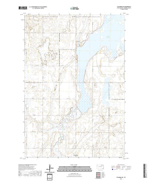
2021 Map of Columbia NE
USGS Topo · Published 2021About this map
The James River winds through this section of Brown County, South Dakota, defining a landscape dominated by extensive wetlands and seasonal water bodies. The Columbia Road Reservoir serves as a major geographical anchor in the northeast, surrounded by a network of rural routes and specialized paths such as the Auto Tour Rte and Sand Lake Dr. This area reflects a modern management of the prairie environment, where traditional section-line roads like 393rd Ave and 113th St interface with conservation-focused infrastructure. Near the southern edge, the settlement of Columbia sits at a historic crossing point of the river. The map details a transition from organized agricultural plots to the more fluid, marshy terrain along the river valley, providing a clear view of how water drainage and land use are navigated in this corner of the state.
Find a feature on this map
25 named features on this map. Tap any name to fly to it.
Don’t see what you’re looking for? This feature index may not catch every label — zoom into the map to look around manually.
Map Details
Editions of this 2021 Columbia NE Map
This is the sole edition of this map. No revisions or reprints were ever made.
Other maps of this area

1894 · Hecla
USGS Topo · 1:62,500

1894 · Columbia
USGS Topo · 1:62,500

1894 · Savo
USGS Topo · 1:62,500

1896 · Columbia
USGS Topo · 1:125,000

1952 · Columbia
USGS Topo · 1:24,000

1952 · Ordway
USGS Topo · 1:24,000

1952 · Columbia NE
USGS Topo · 1:24,000

1952 · Westport
USGS Topo · 1:24,000

1952 · Putney
USGS Topo · 1:24,000

1953 · Savo SW
USGS Topo · 1:24,000