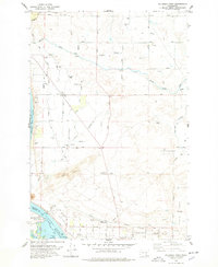
1978 Map of Columbia Point
USGS Topo · Published 1978About this map
Columbia River waters meet at the confluence of the Yakima River just south of Columbia Point, marking a landscape defined by intensive late-20th-century irrigation and flood control. The vast Lake Wallula reservoir dominates the lower portion of the sheet, where recreational areas like Columbia Park and Chiwana Park neighbor Bateman Island. The surrounding terrain transitions from the developed streets of Riverview and the Trailer Park to the undulating Sand Dunes that characterize the arid interior.
Find a feature on this map
53 named features on this map. Tap any name to fly to it.
Don’t see what you’re looking for? This feature index may not catch every label — zoom into the map to look around manually.
Map Details
Editions of this 1978 Columbia Point Map
This is the sole edition of this map. No revisions or reprints were ever made.
Other maps of this area

1917 · Pasco
USGS Topo · 1:125,000

1951 · Richland
USGS Topo · 1:62,500

1953 · Walla Walla
USGS Topo · 1:250,000

1958 · Walla Walla
USGS Topo · 1:250,000

1964 · Kennewick
USGS Topo · 1:24,000

1964 · Pasco
USGS Topo · 1:62,500
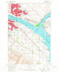
1964 · Pasco
USGS Topo · 1:24,000

1965 · Eltopia
USGS Topo · 1:62,500
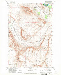
1965 · Badger Mtn
USGS Topo · 1:24,000
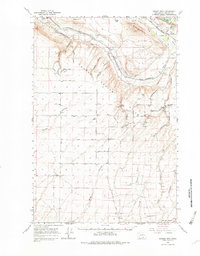
1965 · Badger Mtn
USGS Topo · 1:62,500