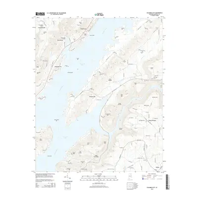
2014 Map of Columbus City
USGS Topo · Published 2014About this map
Guntersville Lake and the Tennessee River dominate this 2014 survey, illustrating a landscape where deep water meets the prominent ridges of Sand Mountain. The map reveals a series of island bars and hollows, such as Buck Island Bar and Bryant Mill Hollow, that define the local topography. Settlement patterns are concentrated in small communities like Columbus City, Meltonsville, and Little New York, which are connected by winding routes like Al-79 and Al-227.
Find a feature on this map
125 named features on this map. Tap any name to fly to it.
Don’t see what you’re looking for? This feature index may not catch every label — zoom into the map to look around manually.
Map Details
Editions of this 2014 Columbus City Map
This is the sole edition of this map. No revisions or reprints were ever made.
Other maps of this area

1885 · Gadsden
USGS Topo · 1:125,000

1888 · Gadsden
USGS Topo · 1:125,000

1888 · Scottsboro
USGS Topo · 1:125,000

1892 · Scottsboro
USGS Topo · 1:125,000

1892 · Gadsden
USGS Topo · 1:125,000

1895 · Gadsden
USGS Topo · 1:125,000

1903 · Gadsden
USGS Topo · 1:125,000

1936 · Painter
USGS Topo · 1:24,000

1936 · Guntersville
USGS Topo · 1:24,000

1936 · Columbus City
USGS Topo · 1:24,000