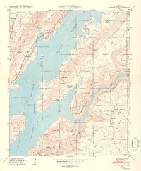
1949 Map of Columbus City
USGS Topo · Published 1949About this map
Guntersville Reservoir dominates this 1940s landscape, where the Tennessee Valley Authority's impoundment reshaped the banks of the Tennessee River. The terrain is defined by the sharp rise of Gunters Mountain and Sand Mountain, with the village of Columbus City situated near the narrowing waters of The Narrows. This survey captures the rural character of Marshall County before extensive modernization, showing a network of mountain gaps and hollows like Slater Hollow and Johnson Hollow that dictated local travel.
Find a feature on this map
60 named features on this map. Tap any name to fly to it.
Don’t see what you’re looking for? This feature index may not catch every label — zoom into the map to look around manually.
Map Details
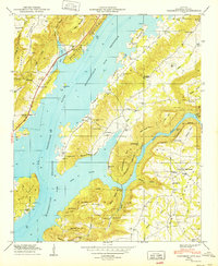
Editions of this 1949 Columbus City Map
2 editions found
Other maps of this area

1885 · Gadsden
USGS Topo · 1:125,000

1888 · Gadsden
USGS Topo · 1:125,000

1888 · Scottsboro
USGS Topo · 1:125,000

1892 · Scottsboro
USGS Topo · 1:125,000

1892 · Gadsden
USGS Topo · 1:125,000

1895 · Gadsden
USGS Topo · 1:125,000

1903 · Gadsden
USGS Topo · 1:125,000

1936 · Painter
USGS Topo · 1:24,000

1936 · Guntersville
USGS Topo · 1:24,000

1936 · Columbus City
USGS Topo · 1:24,000
Featured Places
- Guntersville, AL
- Star Point Subdivision, AL
- Five Points, AL
- Tanglewood, AL
- Little New York, Guntersville