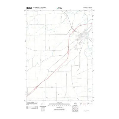
2010 Map of Columbus
USGS Topo · Published 2010About this map
The Columbus settlement serves as the focal point of this 2010 survey, showing the community's layout at the junction of the Crawfish River and several regional transit routes. The landscape is defined by the winding paths of the North Branch Crawfish River and Robbins Creek, which converge near the town center. The presence of the Udeys WP73 Dam on the river suggests the importance of water management and local infrastructure in this agricultural region.
Find a feature on this map
49 named features on this map. Tap any name to fly to it.
Don’t see what you’re looking for? This feature index may not catch every label — zoom into the map to look around manually.
Map Details
Editions of this 2010 Columbus Map
This is the sole edition of this map. No revisions or reprints were ever made.
Other maps of this area

1890 · Sun Prairie
USGS Topo · 1:62,500

1891 · Waterloo
USGS Topo · 1:62,500

1894 · Waterloo
USGS Topo · 1:62,500

1896 · Sun Prairie
USGS Topo · 1:62,500

1905 · Sun Prairie
USGS Topo · 1:62,500

1907 · Sun Prairie
USGS Topo · 1:62,500

1910 · Waterloo
USGS Topo · 1:62,500

1955 · Columbus
USGS Topo · 1:62,500

1955 · Beaver Dam
USGS Topo · 1:62,500

1957 · Madison
USGS Topo · 1:250,000