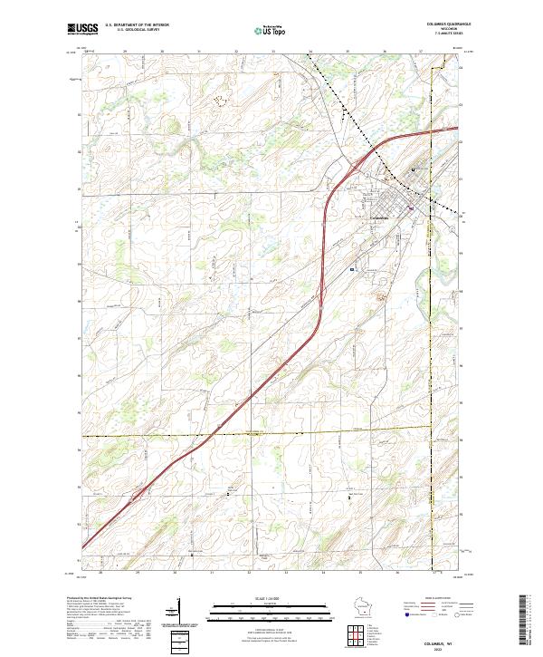
2022 Map of Columbus
USGS Topo · Published 2022About this map
The city of Columbus sits at the junction of Columbia, Dane, and Dodge counties, centered on a dense network of residential streets such as Maple Ave, S Main St, and W School St. The Crawfish River winds through the northern portion of the landscape, joined by smaller tributaries like Robbins Cr and Nolan Cr. This modern 2022 survey captures the community’s layout at a point of intersection between established urban blocks and the surrounding agricultural periphery.
Find a feature on this map
95 named features on this map. Tap any name to fly to it.
Don’t see what you’re looking for? This feature index may not catch every label — zoom into the map to look around manually.
Map Details
Editions of this 2022 Columbus Map
This is the sole edition of this map. No revisions or reprints were ever made.
Other maps of this area

1890 · Sun Prairie
USGS Topo · 1:62,500

1891 · Waterloo
USGS Topo · 1:62,500

1894 · Waterloo
USGS Topo · 1:62,500

1896 · Sun Prairie
USGS Topo · 1:62,500

1905 · Sun Prairie
USGS Topo · 1:62,500

1907 · Sun Prairie
USGS Topo · 1:62,500

1910 · Waterloo
USGS Topo · 1:62,500

1955 · Columbus
USGS Topo · 1:62,500

1955 · Beaver Dam
USGS Topo · 1:62,500

1957 · Madison
USGS Topo · 1:250,000