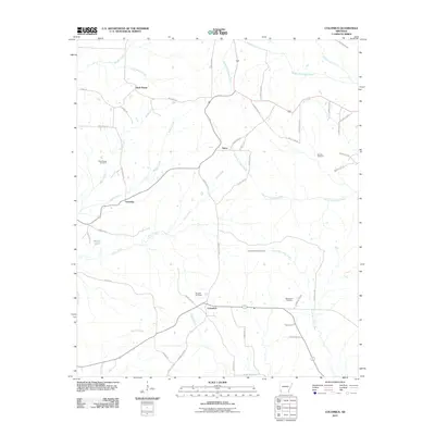
2011 Map of Columbus
USGS Topo · Published 2011About this map
Columbus serves as a primary hub for this Hempstead County landscape, where the local terrain is defined by a dense network of creek systems. The hydrology of the region is notably intricate, featuring Sandy Bois d'Arc Creek and the various forks of South Fork Ozan Creek and Middle Fork Ozan Creek. These watercourses create a dissected landscape that historically influenced the placement of rural settlements like Buck Range, Yancy, and Schooley.
Find a feature on this map
53 named features on this map. Tap any name to fly to it.
Don’t see what you’re looking for? This feature index may not catch every label — zoom into the map to look around manually.
Map Details
Editions of this 2011 Columbus Map
This is the sole edition of this map. No revisions or reprints were ever made.
Other maps of this area

1950 · Red Bluff
USGS Topo · 1:24,000

1951 · Red Bluff
USGS Topo · 1:24,000

1951 · Mineral Springs South
USGS Topo · 1:24,000

1951 · Columbus
USGS Topo · 1:24,000

1951 · Sheppard
USGS Topo · 1:24,000

1951 · Mineral Springs North
USGS Topo · 1:24,000

1951 · Nashville
USGS Topo · 1:24,000

1951 · Washington
USGS Topo · 1:24,000

1951 · Mc Nab
USGS Topo · 1:24,000

1951 · McCaskill
USGS Topo · 1:24,000