
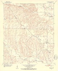
1951 Map of McCaskill
USGS Topo · Published 1952About this map
McCaskill serves as the primary hub of this 1950s landscape, positioned along the Prescott and Northwestern line. The area's settlement pattern is defined by a series of country congregations, including New Home Ch, Avery Chapel, Golf Chapel, and Mt Pleasant Ch, suggesting a tightly knit rural community life during the mid-twentieth century. The Prescott and Northwestern rail route cuts diagonally across the terrain, crossing the Red Land region and connecting the local economy to the broader river systems.
Find a feature on this map
23 named features on this map. Tap any name to fly to it.
Don’t see what you’re looking for? This feature index may not catch every label — zoom into the map to look around manually.
Map Details
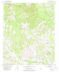
Editions of this 1951 McCaskill Map
3 editions found
Other maps of this area

1906 · Caddo Gap
USGS Topo · 1:125,000

1951 · Blevins
USGS Topo · 1:24,000

1951 · Columbus
USGS Topo · 1:24,000

1951 · Nashville
USGS Topo · 1:24,000

1951 · Washington
USGS Topo · 1:24,000

1951 · Pisgah
USGS Topo · 1:24,000

1953 · El Dorado
USGS Topo · 1:250,000

1955 · Little Rock
USGS Topo · 1:250,000

1956 · Little Rock
USGS Topo · 1:250,000

1957 · El Dorado
USGS Topo · 1:250,000