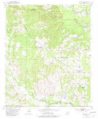
1951 Map of McCaskill
USGS Topo · Published 1981About this map
McCaskill stands as the primary settlement in this southwestern Arkansas landscape, situated at the intersection of local routes and the Prescott and Northwestern railroad. The 1951 survey reveals a rural community defined by its dispersed social centers, including New Home Ch, Avery Chapel, and the Blevins Sch No 2. This era shows a transition in land use, where the traditional farming layout is interspersed with numerous Gravel Pits, indicating the importance of local extraction for regional infrastructure.
Find a feature on this map
26 named features on this map. Tap any name to fly to it.
Don’t see what you’re looking for? This feature index may not catch every label — zoom into the map to look around manually.
Map Details
Editions of this 1951 McCaskill Map
3 editions found
Other maps of this area

1906 · Caddo Gap
USGS Topo · 1:125,000

1951 · Blevins
USGS Topo · 1:24,000

1951 · Columbus
USGS Topo · 1:24,000

1951 · Nashville
USGS Topo · 1:24,000

1951 · Washington
USGS Topo · 1:24,000

1951 · Pisgah
USGS Topo · 1:24,000

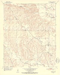
1951 · McCaskill
USGS Topo · 1:24,000

1953 · El Dorado
USGS Topo · 1:250,000

1955 · Little Rock
USGS Topo · 1:250,000

1956 · Little Rock
USGS Topo · 1:250,000