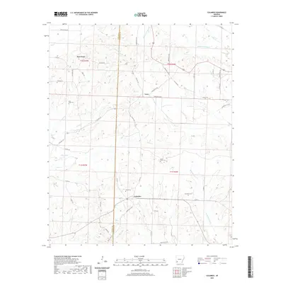
2020 Map of Columbus
USGS Topo · Published 2020About this map
Columbus serves as the central hub of this Hempstead County landscape, where the agricultural flats are carved by a dense network of creek systems. The terrain is defined by the branching reaches of Middle Fork Ozan Cr and Sandy Bois d'Arc Cr, creating a topographical pattern of low ridges and stream valleys. Small rural communities like Buck Range and Yancy are connected by a web of local routes such as State Hwy 332 and Yellow Creek Rd, reflecting the area's long-standing rural road network.
Find a feature on this map
58 named features on this map. Tap any name to fly to it.
Don’t see what you’re looking for? This feature index may not catch every label — zoom into the map to look around manually.
Map Details
Editions of this 2020 Columbus Map
This is the sole edition of this map. No revisions or reprints were ever made.
Other maps of this area

1950 · Red Bluff
USGS Topo · 1:24,000

1951 · Red Bluff
USGS Topo · 1:24,000

1951 · Mineral Springs South
USGS Topo · 1:24,000

1951 · Columbus
USGS Topo · 1:24,000

1951 · Sheppard
USGS Topo · 1:24,000

1951 · Mineral Springs North
USGS Topo · 1:24,000

1951 · Nashville
USGS Topo · 1:24,000

1951 · Washington
USGS Topo · 1:24,000

1951 · Mc Nab
USGS Topo · 1:24,000

1951 · McCaskill
USGS Topo · 1:24,000