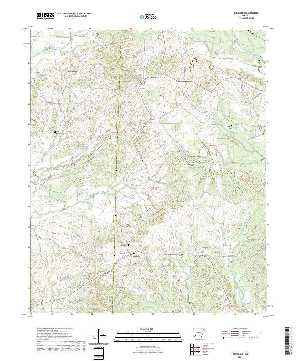
2024 Map of Columbus
USGS Topo · Published 2024About this map
Columbus serves as a central hub for this portion of Hempstead and Howard counties, where the landscape is defined by the branching tributaries of the Ozan and Bois d'Arc creek systems. The terrain is notably marked by numerous rural burial grounds, including Mounds Cem and Macedonia Cem, which offer significant value for genealogical research in this part of Arkansas. The settlement patterns follow established routes like Hempstead 35 Rd N and Hempstead 37 Rd, connecting smaller communities such as Yancy and Buck Range.
Find a feature on this map
58 named features on this map. Tap any name to fly to it.
Don’t see what you’re looking for? This feature index may not catch every label — zoom into the map to look around manually.
Map Details
Editions of this 2024 Columbus Map
This is the sole edition of this map. No revisions or reprints were ever made.
Other maps of this area

1950 · Red Bluff
USGS Topo · 1:24,000

1951 · Red Bluff
USGS Topo · 1:24,000

1951 · Mineral Springs South
USGS Topo · 1:24,000

1951 · Columbus
USGS Topo · 1:24,000

1951 · Sheppard
USGS Topo · 1:24,000

1951 · Mineral Springs North
USGS Topo · 1:24,000

1951 · Nashville
USGS Topo · 1:24,000

1951 · Washington
USGS Topo · 1:24,000

1951 · Mc Nab
USGS Topo · 1:24,000

1951 · McCaskill
USGS Topo · 1:24,000