
1920 Map of Columbus
USGS Topo · Published 1931About this map
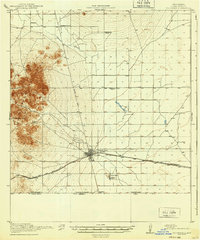
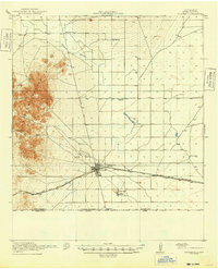
Columbus serves as the focal point of this borderland survey, situated just north of the Boundary Gate where the United States meets Chihuahua. The town is a critical hub for the El Paso and Southwestern railroad, which cuts across the arid southern landscape. The placement of Sunnyside School and Mayfield School suggests a dispersed but established community of homesteaders and ranchers, including the Stephenson Ranch and Rascon Ranch. To the north, the isolated settlement of Waterloo and the prominent Palomas Arroyo define the desert terrain. The infrastructure of the era is evidenced by the Deming Road and essential water sources like Deans Well and Stiles Reservoir near Loma Vista, highlighting the necessity of managed water for survival in this high-desert environment during the early twentieth century.
Find a feature on this map
18 named features on this map. Tap any name to fly to it.
Don’t see what you’re looking for? This feature index may not catch every label — zoom into the map to look around manually.
Map Details
Editions of this 1920 Columbus Map
3 editions found
Other maps of this area

1899 · Deming
USGS Topo · 1:125,000

1915 · Deming
USGS Topo · 1:125,000

1917 · Hermanas
USGS Topo · 1:62,500

1917 · Camel Mountain
USGS Topo · 1:62,500

1917 · Columbus
USGS Topo · 1:62,500

1918 · Columbus
USGS Topo · 1:62,500

1918 · Hermanas
USGS Topo · 1:62,500

1943 · Hermanas
USGS Topo · 1:62,500

1953 · El Paso
USGS Topo · 1:250,000

1955 · Las Cruces
USGS Topo · 1:250,000