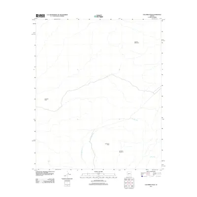
2011 Map of Columbus Peak
USGS Topo · Published 2011About this map
Cemetery Ridge and the southern reaches of the Eagletail Mountains define this arid landscape in Maricopa County. The 2011 survey reveals a territory shaped by ephemeral water systems, where the winding paths of Columbus Wash and Copper Wash carve through the basin floors between the highlands of Columbus Peak and the Gila Bend Mountains. Unlike more developed regions, the area is characterized by sparse human intervention, with isolated water features like Hanley Tank serving as rare landmarks in the open desert. The map captures the alignment of local drainage patterns and the topographical relationship between these distinct mountain ranges, providing a precise look at the natural corridor where the Gila Bend and Eagletail ranges converge in the early twenty-first century.
Find a feature on this map
7 named features on this map. Tap any name to fly to it.
Don’t see what you’re looking for? This feature index may not catch every label — zoom into the map to look around manually.
Map Details
Editions of this 2011 Columbus Peak Map
This is the sole edition of this map. No revisions or reprints were ever made.
Other maps of this area

1927 · Hyder
USGS Topo · 1:62,500

1930 · Hyder
USGS Topo · 1:62,500

1942 · Vicksburg
USGS Topo · 1:250,000

1951 · Dendora Valley
USGS Topo · 1:62,500

1954 · Phoenix
USGS Topo · 1:250,000

1957 · Phoenix
USGS Topo · 1:250,000

1958 · Phoenix
USGS Topo · 1:250,000

1960 · Phoenix
USGS Topo · 1:250,000

1962 · Cortez Peak
USGS Topo · 1:62,500

1962 · Eagletail Mts
USGS Topo · 1:62,500