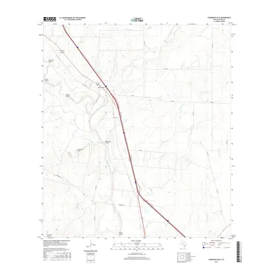
2016 Map of Comanche Hills
USGS Topo · Published 2016About this map
Comanche Hills rises above a landscape defined by deep drainages and creek beds in this southern Texas survey. The Atascosa River winds through the central portion of the map, fed by numerous tributaries including Weedy Cr, Comanche Br, and Hackberry Cr. The terrain is notably pocketed with named landforms such as Merriman Hollow, Ursher Hollow, and Brush Pen Hollow, suggesting a varied topography utilized for ranching and transit. In the south, Garcia Hollow and Live Oak Hollow meet near the river, while House Lake provides a rare standing water feature in the north. The transportation network is anchored by the N Hwy 37 Acc corridor, which cuts a straight path across the hills, connecting local routes like Liska Rd and Goodhope Rd to the regional infrastructure.
Find a feature on this map
26 named features on this map. Tap any name to fly to it.
Don’t see what you’re looking for? This feature index may not catch every label — zoom into the map to look around manually.
Map Details
Editions of this 2016 Comanche Hills Map
This is the sole edition of this map. No revisions or reprints were ever made.
Other maps of this area

1920 · Mikeska
USGS Topo · 1:125,000

1925 · Simmons No. 1
USGS Topo · 1:48,000

1927 · Oakville
USGS Topo · 1:62,500

1929 · Simmons
USGS Topo · 1:62,500

1930 · Whitsett
USGS Topo · 1:62,500

1942 · Whitsett
USGS Topo · 1:62,500

1953 · Crystal City
USGS Topo · 1:250,000

1955 · Crystal City
USGS Topo · 1:250,000

1956 · Suniland
USGS Topo · 1:62,500

1961 · Crystal City
USGS Topo · 1:250,000