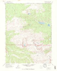
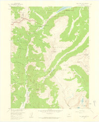
1962 Map of Comanche Peak
USGS Topo · Published 1969About this map
Comanche Peak and the high ridges of the Mummy Range dominate this landscape, which transitions between the Roosevelt National Forest and Rocky Mountain National Park. Surveyed in the early 1960s, the map reveals a network of high-altitude water management and recreational trails. Significant reservoirs, including Comanche Reservoir and Hourglass Reservoir, are positioned among the drainages of the Cache la Poudre River. The terrain is marked by alpine features such as Emmaline Lake, Cirque Lake, and the remote Mirror Lake, which is accessible via the Mirror Lake Trail. Foot travel and pack animal routes define the local transit, with the Zimmerman Trail and Mummy Pass Trail crossing significant gaps like Mummy Pass. This survey provides a record of the wilderness boundary before later development, showing the placement of isolated structures like the Cabin near Dadd Gulch.
Find a feature on this map
37 named features on this map. Tap any name to fly to it.
Don’t see what you’re looking for? This feature index may not catch every label — zoom into the map to look around manually.
Map Details
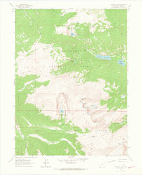
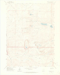
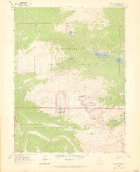
Editions of this 1962 Comanche Peak Map
4 editions found
Other maps of this area

1915 · Longs Peak
USGS Topo · 1:125,000

1916 · Home
USGS Topo · 1:125,000

1919 · Rocky Mountain National Park
USGS Topo · 1:125,000

1920 · Home
USGS Topo · 1:125,000

1954 · Greeley
USGS Topo · 1:250,000

1957 · Greeley
USGS Topo · 1:250,000

1957 · Trail Ridge
USGS Topo · 1:24,000

1957 · Estes Park
USGS Topo · 1:24,000

1958 · Greeley
USGS Topo · 1:250,000
1958 · Fall River Pass
USGS Topo · 1:24,000