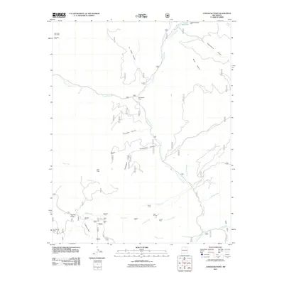
2011 Map of Comanche Point
USGS Topo · Published 2011About this map
Mining claims and alpine drainage systems dominate this corner of Taos County, where the southern reaches of the Costilla Reservoir sit near the Colorado border. The landscape is defined by the high-elevation geography of Anderson Park and Valle Vidal, with a dense concentration of historical mining operations located in the southwestern quadrant. Prospects such as the Midnight Mine, Edison Mine, and Cashier Mine are clustered near Lagunita Saddle, reflecting an era of intensive mineral exploration in the Sangre de Cristo range. The map reveals a network of canyons including Chuckwagon Canyon and Fernandez Canyon that feed into the major watercourses of Costilla Creek and Comanche Creek. Temporary settlements and seasonal camps like La Cueva Camp and Clayton Camp are situated along these creeks, while the presence of the Snyder Tunnel and Keystone Tunnel points to the subsurface industrial heritage of the region.
Find a feature on this map
62 named features on this map. Tap any name to fly to it.
Don’t see what you’re looking for? This feature index may not catch every label — zoom into the map to look around manually.
Map Details
Editions of this 2011 Comanche Point Map
This is the sole edition of this map. No revisions or reprints were ever made.
Other maps of this area

1954 · Raton
USGS Topo · 1:250,000

1955 · Ute Park
USGS Topo · 1:62,500

1958 · Raton
USGS Topo · 1:250,000

1962 · Ash Mountain
USGS Topo · 1:62,500

1963 · Amalia
USGS Topo · 1:24,000

1963 · Red River Pass
USGS Topo · 1:24,000

1963 · Latir Peak
USGS Topo · 1:24,000

1963 · Comanche Point
USGS Topo · 1:24,000

1963 · Red River
USGS Topo · 1:24,000

1963 · Big Costilla Peak
USGS Topo · 1:24,000