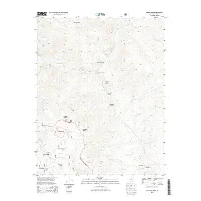
2013 Map of Comanche Point
USGS Topo · Published 2013About this map
Comanche Point stands as a prominent landmark within this high-elevation landscape of the Sangre de Cristo Mountains. The 2013 survey details the headwaters and drainages of numerous alpine creeks, including Costilla Cr and Comanche Cr, which carve deep canyons like La Cueva Canyon and Fernandez Canyon. This area, largely contained within the Carson National Forest, includes established outposts such as La Cueva Camp and La Belle Lodge, reflecting the long-standing use of these mountains for recreation and forest management. Researchers can trace the geography of the Valle Vidal region, where landmarks like Ortiz Peak and Lagunita Saddle define the rugged interior of Taos County. The distribution of sites like Clayton Camp and Anderson Park suggests a network of seasonal or resource-based settlements amidst the intricate topography of the northern New Mexico wilderness.
Find a feature on this map
31 named features on this map. Tap any name to fly to it.
Don’t see what you’re looking for? This feature index may not catch every label — zoom into the map to look around manually.
Map Details
Editions of this 2013 Comanche Point Map
This is the sole edition of this map. No revisions or reprints were ever made.
Other maps of this area

1954 · Raton
USGS Topo · 1:250,000

1955 · Ute Park
USGS Topo · 1:62,500

1958 · Raton
USGS Topo · 1:250,000

1962 · Ash Mountain
USGS Topo · 1:62,500

1963 · Amalia
USGS Topo · 1:24,000

1963 · Red River Pass
USGS Topo · 1:24,000

1963 · Latir Peak
USGS Topo · 1:24,000

1963 · Comanche Point
USGS Topo · 1:24,000

1963 · Red River
USGS Topo · 1:24,000

1963 · Big Costilla Peak
USGS Topo · 1:24,000