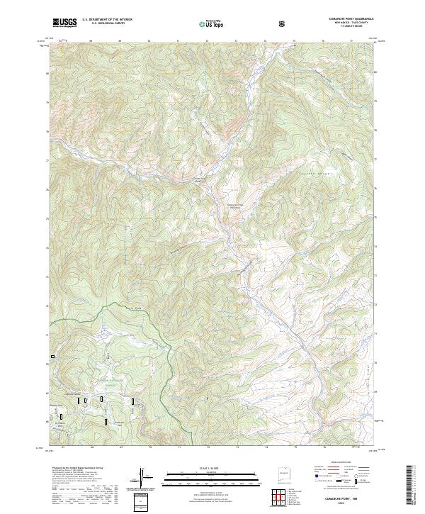
2023 Map of Comanche Point
USGS Topo · Published 2023About this map
The Culebra Range and the Sangre de Cristo Mountains dominate this high-altitude landscape in the northern reaches of the Carson National Forest. The map centers on the drainage systems of Costilla Creek and Comanche Creek, showing a terrain defined by deep canyons such as Chuckwagon Canyon and Fernandez Canyon. A notable human imprint in this wilderness is the Anchor Mine/Bitter Ck Rd winding through the southwestern section, signaling the area's history of mineral exploration near Greenie Peak.
Find a feature on this map
33 named features on this map. Tap any name to fly to it.
Don’t see what you’re looking for? This feature index may not catch every label — zoom into the map to look around manually.
Map Details
Editions of this 2023 Comanche Point Map
This is the sole edition of this map. No revisions or reprints were ever made.
Other maps of this area

1954 · Raton
USGS Topo · 1:250,000

1955 · Ute Park
USGS Topo · 1:62,500

1958 · Raton
USGS Topo · 1:250,000

1962 · Ash Mountain
USGS Topo · 1:62,500

1963 · Amalia
USGS Topo · 1:24,000

1963 · Red River Pass
USGS Topo · 1:24,000

1963 · Latir Peak
USGS Topo · 1:24,000

1963 · Comanche Point
USGS Topo · 1:24,000

1963 · Red River
USGS Topo · 1:24,000

1963 · Big Costilla Peak
USGS Topo · 1:24,000