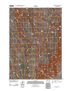
2011 Map of Comegys Lake
USGS Topo · Published 2011About this map
Bald Mountain dominates the northern skyline of this high-desert landscape in southeast Oregon, where water sources dictate the placement of human habitations. The drainage of Riddle Creek and Coyote Creek carves through the terrain, supporting isolated outposts like Mclean Cabin and Smyth Cabin. These small structures, along with Comegys Cabin near the shoreline of Comegys Lake, reflect the long history of ranching and land management in Harney County. Numerous named water points such as Courtwrights Spring and Ross Dollarhide Springs indicate a landscape where reliable water is the primary resource for both livestock and wildlife. This 2011 survey captures the network of 4WD tracks and primitive roads that connect these remote basins, including the high ground of Squaw Flat and the seasonal flows of Stonehouse Creek.
Find a feature on this map
19 named features on this map. Tap any name to fly to it.
Don’t see what you’re looking for? This feature index may not catch every label — zoom into the map to look around manually.
Map Details
Editions of this 2011 Comegys Lake Map
This is the sole edition of this map. No revisions or reprints were ever made.
Other maps of this area

1955 · Burns
USGS Topo · 1:250,000

1955 · Adel
USGS Topo · 1:250,000

1957 · Adel
USGS Topo · 1:250,000

1958 · Burns
USGS Topo · 1:250,000

1958 · Adel
USGS Topo · 1:250,000

1959 · Burns
USGS Topo · 1:250,000

1962 · Adel
USGS Topo · 1:250,000

1967 · Happy Valley
USGS Topo · 1:24,000

1968 · Poison Springs
USGS Topo · 1:24,000

1968 · Big Pasture Creek
USGS Topo · 1:24,000