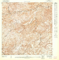
1947 Map of Comerio NE
USGS Topo · Published 1948About this map
Cerro Santa Bárbara and Cerro La Tiza dominate this 1943 topographic study, revealing the interior highlands of Puerto Rico before modern development reshaped the landscape. The intricate drainage network of the Río La Plata basin is shown in detail, including tributaries like Quebrada Ceiba, Quebrada Pueblo, and Quebrada Prieta. This preliminary edition, issued by the United States Department of the Interior, serves as a dense record of early rural settlement patterns. A complex web of small dwellings and trails connects the steep ridges, illustrating a mountain economy reliant on foot and animal transport. The map also delineates crucial municipal boundaries where Comerio, Aguas Buenas, Naranjito, and Bayamon meet, providing essential data for regional genealogy and land history research.
Find a feature on this map
11 named features on this map. Tap any name to fly to it.
Don’t see what you’re looking for? This feature index may not catch every label — zoom into the map to look around manually.
Map Details
Editions of this 1947 Comerio NE Map
This is the sole edition of this map. No revisions or reprints were ever made.
Other maps of this area

1946 · Aguas Buenas
USGS Topo · 1:30,000

1946 · Comerio
USGS Topo · 1:30,000

1946 · Naranjito
USGS Topo · 1:30,000

1946 · Caguas
USGS Topo · 1:30,000
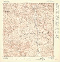
1947 · Naranjito SO
USGS Topo · 1:10,000
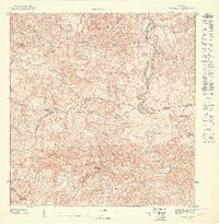
1947 · Naranjito SE
USGS Topo · 1:10,000
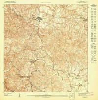
1947 · Comerio SE
USGS Topo · 1:10,000
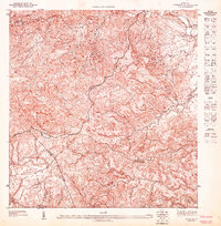
1947 · Caguas NO
USGS Topo · 1:10,000
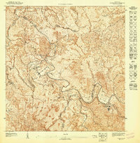
1947 · Comerio SO
USGS Topo · 1:10,000
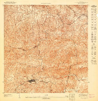
1947 · Aguas Buenas SO
USGS Topo · 1:10,000
Featured Places
- La Península, Cidra
- Comunidad Los Delgado, Cidra
- Sector La Loma, Aguas Buenas
- Comunidad Tomás González, Cidra
- Comunidad Amaro, Cidra