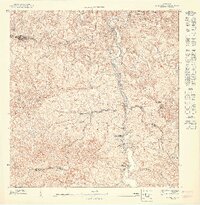
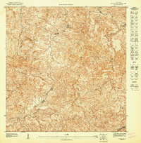
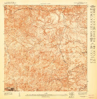
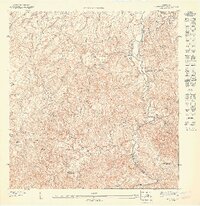
1947 Map of Naranjito SO
USGS Topo · Published 1947About this map
The town of Naranjito serves as the focal point for this mid-1940s topographical study of the central Puerto Rican interior. The landscape is defined by the winding course of the Rio de la Plata, which hosts the industrial footprint of the Represa de Comerio and an associated Planta Hidroelectrica, reflecting the era's reliance on river-driven power. Numerous smaller tributaries, including Quebrada Mula and Quebrada Cedrito, carve through the steep terrain, illustrating the complex watershed of the region.
Find a feature on this map
18 named features on this map. Tap any name to fly to it.
Don’t see what you’re looking for? This feature index may not catch every label — zoom into the map to look around manually.
Map Details
Editions of this 1947 Naranjito SO Map
This is the sole edition of this map. No revisions or reprints were ever made.
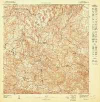
Other maps of this area

1946 · Corozal
USGS Topo · 1:30,000

1946 · Barranquitas
USGS Topo · 1:30,000

1946 · Comerio
USGS Topo · 1:30,000

1946 · Naranjito
USGS Topo · 1:30,000
1947 · Corozal NE
USGS Topo · 1:10,000
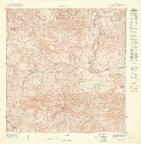
1947 · Naranjito SE
USGS Topo · 1:10,000
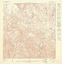
1947 · Naranjito NO
USGS Topo · 1:10,000
1947 · Corozal SE
USGS Topo · 1:10,000
1947 · Barranquitas NE
USGS Topo · 1:10,000
1947 · Naranjito NE
USGS Topo · 1:10,000
Featured Places
- Naranjito, Naranjito
- Mulitas, Naranjito
- Sector Correa, Naranjito
- Villa Embrolla, Naranjito
- Villa Pollita, Naranjito