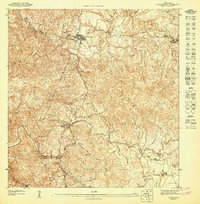
1947 Map of Comerio SE
USGS Topo · Published 1947About this map
The town of Cidra serves as the focal point for this 1940s topographic survey, which details the complex interior highlands of Puerto Rico. The urban grid of the settlement is clearly delineated, showing a concentration of structures that transitions into a landscape dominated by steep ridges and winding watercourses. A significant municipal boundary separates the Municipio de Cidra and Municipio de Cayey in the southern portion of the sheet, cutting across the rugged terrain near Cerro La Guasima.
Find a feature on this map
13 named features on this map. Tap any name to fly to it.
Don’t see what you’re looking for? This feature index may not catch every label — zoom into the map to look around manually.
Map Details
Editions of this 1947 Comerio SE Map
This is the sole edition of this map. No revisions or reprints were ever made.
Other maps of this area

1946 · Patillas
USGS Topo · 1:30,000

1946 · Cayey
USGS Topo · 1:30,000

1946 · Comerio
USGS Topo · 1:30,000

1946 · Caguas
USGS Topo · 1:30,000

1947 · Cayey NO
USGS Topo · 1:10,000
1947 · Cayey NE
USGS Topo · 1:10,000
1947 · Caguas NO
USGS Topo · 1:10,000
1947 · Comerio SO
USGS Topo · 1:10,000
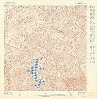
1947 · Patillas NO
USGS Topo · 1:10,000
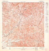
1947 · Caguas SO
USGS Topo · 1:10,000
Featured Places
- Cidra
- Comunidad Castrodad, Cidra
- Comunidad El Doce, Cidra
- San José (Laberinto), Cidra
- Sector Berríos, Cidra