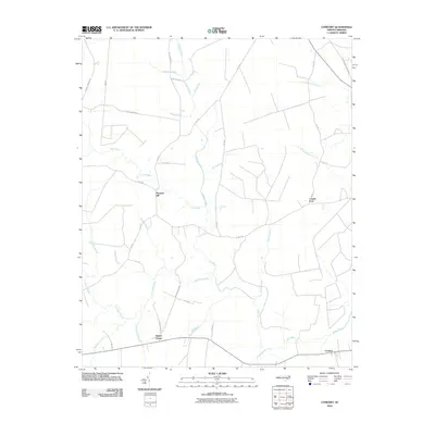
2010 Map of Comfort
USGS Topo · Published 2010About this map
The Trent River snakes through this portion of Jones County, defining a landscape of low-lying wetlands and established rural crossroads. Small communities such as Pleasant Hill, Comfort, and Taylors Corner anchor the region, connected by a network of state routes and local roads including Weyerhaeuser Rd and Tram Rd. The terrain is heavily influenced by its hydrology, where numerous named branches and creeks like Joshua Creek and Bearwell Branch feed into the river system. Large tracts of swamp land, most notably Tuckahoe Swamp and Black Swamp, suggest a history of timbering and agricultural challenges. This 2010 survey reflects the enduring rural character of North Carolina's coastal plain, where family-named landmarks like Combs Fork and Taylors Corner provide essential points of reference for genealogists and local historians tracing the evolution of these small settlements.
Find a feature on this map
38 named features on this map. Tap any name to fly to it.
Don’t see what you’re looking for? This feature index may not catch every label — zoom into the map to look around manually.
Map Details
Editions of this 2010 Comfort Map
This is the sole edition of this map. No revisions or reprints were ever made.
Other maps of this area

1903 · Trent River
USGS Topo · 1:62,500

1904 · Trent River
USGS Topo · 1:62,500

1943 · Jacksonville
USGS Topo · 1:62,500

1948 · Richlands
USGS Topo · 1:62,500

1953 · Rocky Mount
USGS Topo · 1:250,000

1953 · Beaufort
USGS Topo · 1:250,000

1954 · Rocky Mount
USGS Topo · 1:250,000

1954 · Beaufort
USGS Topo · 1:250,000

1958 · Deep Run
USGS Topo · 1:62,500

1965 · Richlands
USGS Topo · 1:62,500