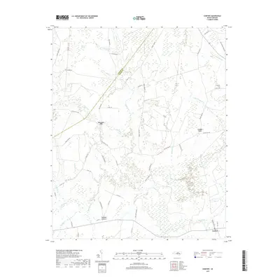
2019 Map of Comfort
USGS Topo · Published 2019About this map
Trent River meanders through the heart of this coastal plain landscape, defining the boundaries and agricultural patterns near the Lenoir and Jones County line. The settlement of Pleasant Hill serves as a central hub, surrounded by a network of rural roads such as E Pleasant Hill Rd and Small Town Rd. The topography is dominated by low-lying wetlands and pocosin environments, most notably the Bearwell Pocosin in the northwest and the expansive Tuckahoe Swamp to the southwest.
Find a feature on this map
57 named features on this map. Tap any name to fly to it.
Don’t see what you’re looking for? This feature index may not catch every label — zoom into the map to look around manually.
Map Details
Editions of this 2019 Comfort Map
This is the sole edition of this map. No revisions or reprints were ever made.
Other maps of this area

1903 · Trent River
USGS Topo · 1:62,500

1904 · Trent River
USGS Topo · 1:62,500

1943 · Jacksonville
USGS Topo · 1:62,500

1948 · Richlands
USGS Topo · 1:62,500

1953 · Rocky Mount
USGS Topo · 1:250,000

1953 · Beaufort
USGS Topo · 1:250,000

1954 · Rocky Mount
USGS Topo · 1:250,000

1954 · Beaufort
USGS Topo · 1:250,000

1958 · Deep Run
USGS Topo · 1:62,500

1965 · Richlands
USGS Topo · 1:62,500