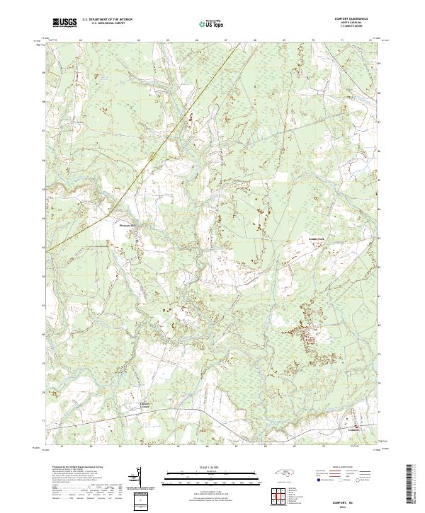
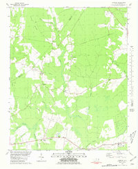
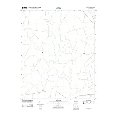
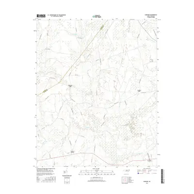
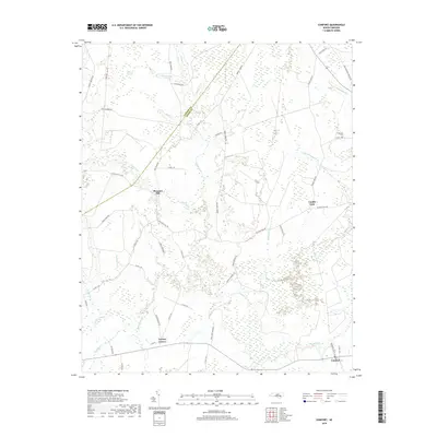
2022 Map of Comfort
USGS Topo · Published 2022About this map
The Trent River meanders through this landscape on the border of Lenoir and Jones counties, defining a region where agriculture meets extensive wetlands. The terrain is characterized by complex drainage systems and named pocosin environments, such as the Bearwell Pocosin in the northwest. Small rural settlements like Pleasant Hill and Comfort serve as local hubs, connected by a network of roads that often follow the natural contours of the river valleys and swamp margins.
Find a feature on this map
57 named features on this map. Tap any name to fly to it.
Don’t see what you’re looking for? This feature index may not catch every label — zoom into the map to look around manually.
Map Details
Editions of this 2022 Comfort Map
This is the sole edition of this map. No revisions or reprints were ever made.
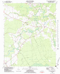
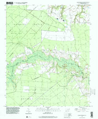
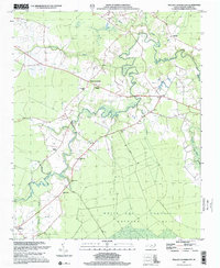
Historical Maps of Comfort Through Time
22 maps found
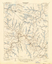
1903 Trent River
Jones County, NC
1904 Trent River
Jones County, NC
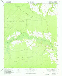
1978 Jacksonville NE
Jones County, NC
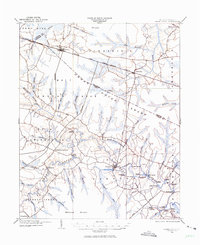
1980 Comfort
Jones County, NC
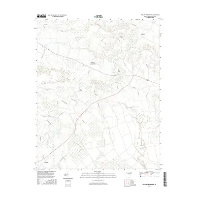
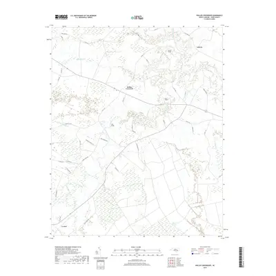
1982 Phillips Crossroads
Jones County, NC
1997 Jacksonville NE
Jones County, NC
1997 Phillips Crossroads
Jones County, NC
2010 Comfort
Jones County, NC
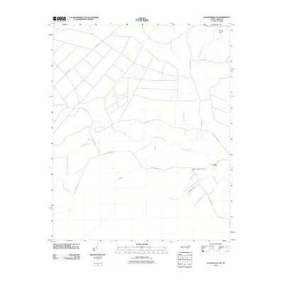
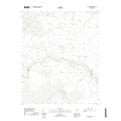
2010 Jacksonville NE
Jones County, NC
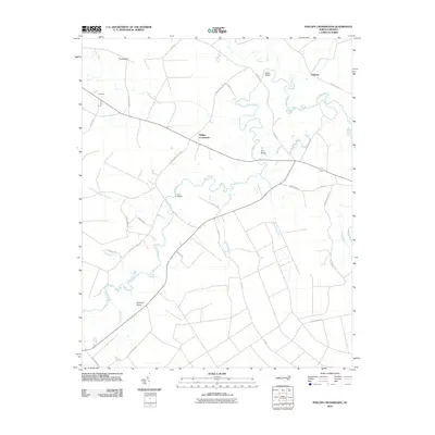
2010 Phillips Crossroads
Jones County, NC
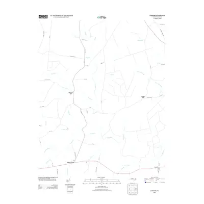
2013 Comfort
Jones County, NC
2013 Jacksonville NE
Jones County, NC
2013 Phillips Crossroads
Jones County, NC
2016 Comfort
Jones County, NC
2016 Jacksonville NE
Jones County, NC
2016 Phillips Crossroads
Jones County, NC
2019 Comfort
Jones County, NC
2019 Jacksonville NE
Jones County, NC
2019 Phillips Crossroads
Jones County, NC
2022 Comfort
Jones County, NC
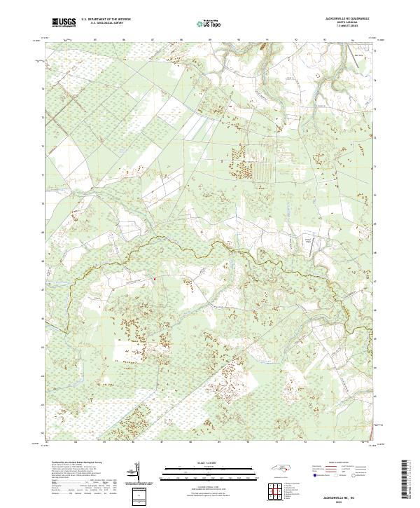
2022 Jacksonville NE
Jones County, NC
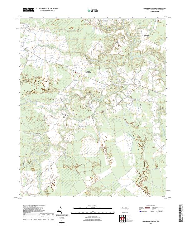
2022 Phillips Crossroads
Jones County, NC