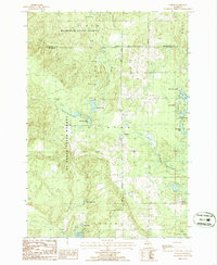
1986 Map of Comins
USGS Topo · Published 1986About this map
Comins stands at the heart of this landscape where the boundaries of Mackinaw State Forest and Au Sable State Forest meet. The settlement and its surrounding township districts, including Clinton and Loud, are defined by an extensive network of glacially formed water bodies and marshlands. Significant aquatic features such as Comins Marsh, Potts Lake, and Churchill Lake dominate the terrain, while Gilchrist Creek and Greasy Creek drain the northern reaches.
Find a feature on this map
31 named features on this map. Tap any name to fly to it.
Don’t see what you’re looking for? This feature index may not catch every label — zoom into the map to look around manually.
Map Details
Editions of this 1986 Comins Map
This is the sole edition of this map. No revisions or reprints were ever made.
Other maps of this area

1954 · Traverse City
USGS Topo · 1:250,000

1954 · Tawas City
USGS Topo · 1:250,000

1955 · Comins
USGS Topo · 1:62,500

1958 · Traverse City
USGS Topo · 1:250,000

1958 · Tawas City
USGS Topo · 1:250,000

1972 · McKinley
USGS Topo · 1:24,000

1972 · McCollum Lake
USGS Topo · 1:24,000

1972 · Mio
USGS Topo · 1:24,000
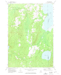
1972 · Rust
USGS Topo · 1:24,000
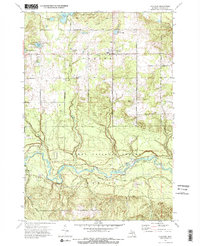
1972 · Fairview
USGS Topo · 1:24,000