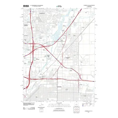
2010 Map of Commerce City
USGS Topo · Published 2010About this map
The South Platte River and Sand Creek anchor an industrial and transit corridor in this 2010 survey, where the dense grid of Denver meets the evolving suburbs and gravel works of the north. The map documents a landscape defined by resource extraction and distribution, evidenced by numerous industrial features such as the Jones Fine Sand Company Pit, Cooley Gravel Company Pit, and the National Western Stockshow Complex.
Find a feature on this map
87 named features on this map. Tap any name to fly to it.
Don’t see what you’re looking for? This feature index may not catch every label — zoom into the map to look around manually.
Map Details
Editions of this 2010 Commerce City Map
This is the sole edition of this map. No revisions or reprints were ever made.
Other maps of this area

1890 · East Denver
USGS Topo · 1:125,000

1899 · West Denver
USGS Topo · 1:125,000

1935 · East Denver Nos. 3 and 4
USGS Topo · 1:48,000

1938 · Derby
USGS Topo · 1:24,000

1938 · Long Branch
USGS Topo · 1:24,000

1940 · Brighton
USGS Topo · 1:31,680

1940 · Englewood
USGS Topo · 1:31,680

1940 · Eastlake
USGS Topo · 1:31,680

1940 · Lafayette
USGS Topo · 1:31,680

1940 · Derby
USGS Topo · 1:31,680