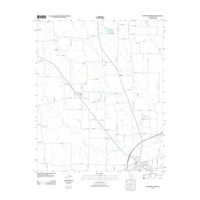
2013 Map of Commerce North
USGS Topo · Published 2013About this map
The Middle Sulphur River and its many tributaries, including Willow Oak Cr and Long Br, define the landscape north of Commerce in Hunt County. This rural section of Texas is characterized by small agricultural settlements and crossroads communities like Durham, Fairlie, and Jardin. The area maintains a quiet, traditional character, anchored by the Hope Cem and Sonora Cem. Modern infrastructure is represented by the Commerce Municipal Airport and a dense network of county roads and Farm to Market routes, such as FM-1563, which connect these dispersed rural homes and farms. The drainage patterns of Pecan Cr and Barnett Cr in the east reveal a landscape managed for both water and road access, typical of the blackland prairie region's development into the 21st century.
Find a feature on this map
99 named features on this map. Tap any name to fly to it.
Don’t see what you’re looking for? This feature index may not catch every label — zoom into the map to look around manually.
Map Details
Editions of this 2013 Commerce North Map
This is the sole edition of this map. No revisions or reprints were ever made.
Other maps of this area

1953 · Texarkana
USGS Topo · 1:250,000

1954 · Sherman
USGS Topo · 1:250,000

1956 · Texarkana
USGS Topo · 1:250,000

1958 · Sherman
USGS Topo · 1:250,000

1963 · Greenville NE
USGS Topo · 1:24,000

1964 · Cumby
USGS Topo · 1:24,000

1964 · Commerce South
USGS Topo · 1:24,000

1964 · Klondike
USGS Topo · 1:24,000

1964 · Commerce North
USGS Topo · 1:24,000

1964 · Ladonia
USGS Topo · 1:24,000