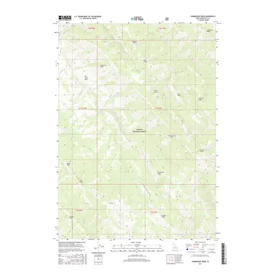
2017 Map of Commissary Ridge
USGS Topo · Published 2017About this map
Caribou National Forest dominates this section of Bonneville County, where the high-altitude terrain of the Caribou Range creates a complex system of ridges and basins. The central geological spine is defined by Commissary Ridge, which stands as a prominent divide between the drainages of Fall Creek and Bear Cr. The land use here is characterized by resource management and recreational access, reflected in the system of forest routes like Skyline Rd and Natl Forest Develop Road 017 Rd.
Find a feature on this map
35 named features on this map. Tap any name to fly to it.
Don’t see what you’re looking for? This feature index may not catch every label — zoom into the map to look around manually.
Map Details
Editions of this 2017 Commissary Ridge Map
This is the sole edition of this map. No revisions or reprints were ever made.
Other maps of this area

1917 · Cranes Flat
USGS Topo · 1:62,500

1924 · Hell Creek
USGS Topo · 1:62,500

1926 · Hell Creek
USGS Topo · 1:62,500

1932 · Irwin
USGS Topo · 1:96,000

1935 · Irwin
USGS Topo · 1:125,000

1955 · Driggs
USGS Topo · 1:250,000

1958 · Driggs
USGS Topo · 1:250,000

1962 · Driggs
USGS Topo · 1:250,000

1966 · Big Elk Mtn
USGS Topo · 1:24,000

1966 · Conant Valley
USGS Topo · 1:24,000