
1966 Map of Big Elk Mtn
USGS Topo · Published 1969About this map
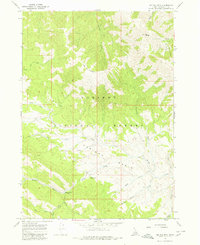
Keenan City (Site) sits at the confluence of several mountain drainages, marking the location of an early settlement within the rugged Caribou Range. This mid-1960s survey captures a landscape defined by its mining and forestry history, with the Caribou National Forest blanketing the high peaks of Big Elk Mtn and Little Elk Mountain. The terrain is etched by an intricate network of waterways, including the winding McCoy Creek and Wolverine Creek, which served as natural corridors through the steep topography.
Find a feature on this map
26 named features on this map. Tap any name to fly to it.
Don’t see what you’re looking for? This feature index may not catch every label — zoom into the map to look around manually.
Map Details
Editions of this 1966 Big Elk Mtn Map
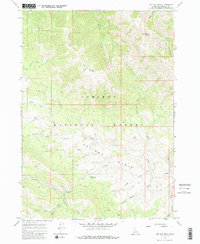
Other maps of this area

1932 · Irwin
USGS Topo · 1:96,000

1935 · Irwin
USGS Topo · 1:125,000

1955 · Driggs
USGS Topo · 1:250,000

1958 · Driggs
USGS Topo · 1:250,000

1962 · Driggs
USGS Topo · 1:250,000
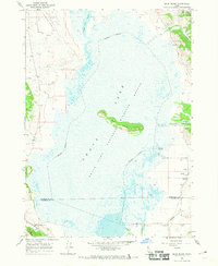
1966 · Bear Island
USGS Topo · 1:24,000
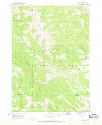
1966 · Tincup Mtn
USGS Topo · 1:24,000
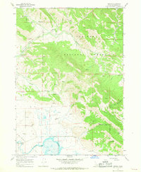
1966 · Herman
USGS Topo · 1:24,000
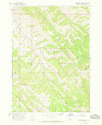
1966 · Commissary Ridge
USGS Topo · 1:24,000
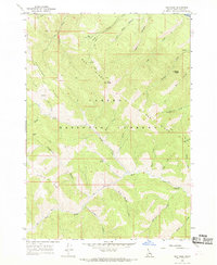
1966 · Red Ridge
USGS Topo · 1:24,000