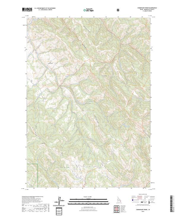
2024 Map of Commissary Ridge
USGS Topo · Published 2024About this map
Caribou National Forest dominates this section of the Caribou Range in Bonneville County, revealing a landscape defined by dramatic high-altitude relief and an extensive network of drainage basins. The map centers on the namesake Commissary Ridge, which stands between the watershed of Fall Creek and the southern slopes leading toward Bear Creek. The topography is marked by a series of prominent high points and divides, including Mahogany Ridge in the north and the jagged Fourth of July Ridge to the southeast.
Find a feature on this map
37 named features on this map. Tap any name to fly to it.
Don’t see what you’re looking for? This feature index may not catch every label — zoom into the map to look around manually.
Map Details
Editions of this 2024 Commissary Ridge Map
This is the sole edition of this map. No revisions or reprints were ever made.
Other maps of this area

1917 · Cranes Flat
USGS Topo · 1:62,500

1924 · Hell Creek
USGS Topo · 1:62,500

1926 · Hell Creek
USGS Topo · 1:62,500

1932 · Irwin
USGS Topo · 1:96,000

1935 · Irwin
USGS Topo · 1:125,000

1955 · Driggs
USGS Topo · 1:250,000

1958 · Driggs
USGS Topo · 1:250,000

1962 · Driggs
USGS Topo · 1:250,000

1966 · Big Elk Mtn
USGS Topo · 1:24,000

1966 · Conant Valley
USGS Topo · 1:24,000