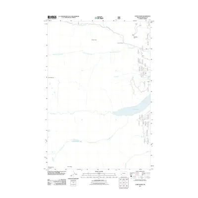
2011 Map of Como Peaks
USGS Topo · Published 2011About this map
Brandy Peak and the high summits of the Bitterroot Range dominate this 2011 survey of western Montana. The landscape is defined by the steep drainage basins of Rock Creek and Lost Horse Creek, which flow eastward toward the Bitterroot Valley. Civil engineering in this high-altitude terrain is focused on the recreational and observational access points, notably around Lake Como and the Lost Horse Observation Point. The drainage network is dense, with smaller tributaries like Bunkhouse Creek and Lick Creek feeding into the larger water bodies. High peaks such as Koch Mountain and the uniquely named The Lonesome Bachelor highlight the dramatic relief of the Bitterroot National Forest area. Road access is limited to primary corridors like Lost Horse Rd and Lake Como Rd, which serve as the gateways for back-country exploration and forest management.
Find a feature on this map
17 named features on this map. Tap any name to fly to it.
Don’t see what you’re looking for? This feature index may not catch every label — zoom into the map to look around manually.
Map Details
Editions of this 2011 Como Peaks Map
This is the sole edition of this map. No revisions or reprints were ever made.
Other maps of this area

1901 · Hamilton
USGS Topo · 1:125,000

1956 · Elk City
USGS Topo · 1:250,000

1956 · Hamilton
USGS Topo · 1:250,000

1959 · Hamilton
USGS Topo · 1:250,000

1960 · Elk City
USGS Topo · 1:250,000

1960 · Hamilton
USGS Topo · 1:250,000

1964 · Hamilton
USGS Topo · 1:250,000

1964 · Hamilton South
USGS Topo · 1:24,000

1964 · Burnt Ridge
USGS Topo · 1:24,000

1964 · Tenmile Lake
USGS Topo · 1:24,000