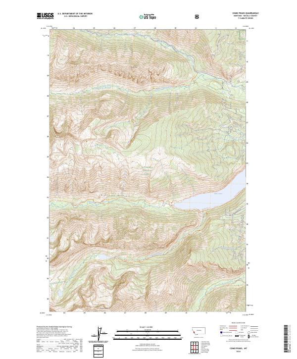
2024 Map of Como Peaks
USGS Topo · Published 2024About this map
Lake Como dominates the eastern edge of this high-elevation landscape, where the Bitterroot National Forest meets the protected reaches of the Selway-Bitterroot Wilderness. The terrain is defined by the sharp elevations of the Bitterroot Mountains, including the summits of Como Peaks, Koch Mtn, and Brandy Peak. The drainage patterns here are complex, with waters flowing through South Lost Horse Creek, Little Rock Creek, and Tin Cup Creek toward the valley below. A network of primitive routes and Forest Service paths, such as the Little Rock Creek Trl and Bunkhouse Trl, provides access to the steep interior. The map also delineates historical land divisions including PB 37 and PB 42, reflecting the complex management and survey history of this part of Ravalli County.
Find a feature on this map
40 named features on this map. Tap any name to fly to it.
Don’t see what you’re looking for? This feature index may not catch every label — zoom into the map to look around manually.
Map Details
Editions of this 2024 Como Peaks Map
This is the sole edition of this map. No revisions or reprints were ever made.
Other maps of this area

1901 · Hamilton
USGS Topo · 1:125,000

1956 · Elk City
USGS Topo · 1:250,000

1956 · Hamilton
USGS Topo · 1:250,000

1959 · Hamilton
USGS Topo · 1:250,000

1960 · Elk City
USGS Topo · 1:250,000

1960 · Hamilton
USGS Topo · 1:250,000

1964 · Hamilton
USGS Topo · 1:250,000

1964 · Hamilton South
USGS Topo · 1:24,000

1964 · Burnt Ridge
USGS Topo · 1:24,000

1964 · Tenmile Lake
USGS Topo · 1:24,000