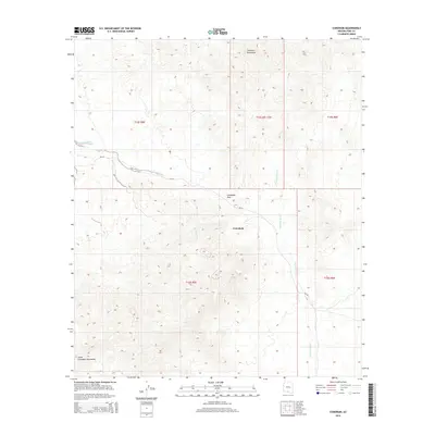
2014 Map of Comobabi
USGS Topo · Published 2014About this map
Comobabi sits at the heart of this desert landscape, positioned between the northern reaches of the Comobabi Mountains and the rising peaks of the South Comobabi Mountains. This 2014 survey documents the remote character of the Schuk Toak District, where the primary infrastructure consists of Bia-30 winding through the basin. The area's hydrology is defined by ephemeral drainage patterns, most notably Ko Vaya Wash in the west and the extensive Comobabi Wash to the east. These washes follow the natural contours of the land, cutting through the high desert floor near Comobabi Pass. The map illustrates the traditional land divisions of the region, including Township 15 South and Range 5 East, while showcasing the stark elevation changes that separate the flat valley basins from the surrounding mountain clusters.
Find a feature on this map
12 named features on this map. Tap any name to fly to it.
Don’t see what you’re looking for? This feature index may not catch every label — zoom into the map to look around manually.
Map Details
Editions of this 2014 Comobabi Map
This is the sole edition of this map. No revisions or reprints were ever made.
Other maps of this area

1934 · Silver Bell
USGS Topo · 1:125,000

1937 · Comobabi
USGS Topo · 1:48,000

1938 · San Vicente
USGS Topo · 1:62,500

1941 · San Vicente
USGS Topo · 1:62,500

1941 · Baboquivari Peak
USGS Topo · 1:62,500

1941 · Sells
USGS Topo · 1:62,500

1942 · San Vicente
USGS Topo · 1:62,500

1942 · Comobabi
USGS Topo · 1:62,500

1943 · Sells
USGS Topo · 1:62,500

1943 · Fresnal
USGS Topo · 1:125,000