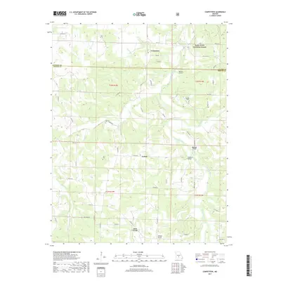
2017 Map of Competition
USGS Topo · Published 2017About this map
The Gasconade River winds through this section of the Ozarks, carving a landscape defined by deep valleys like Wichita Hollow and Wildcat Hollow. In this rural pocket of Laclede and Wright counties, small settlements such as Competition, Jerktail, and Saint George serve as focal points for a network of county roads. The terrain is marked by significant elevation changes, with ridges supporting clearings like Snouffer Field while the river bottoms provide crossing points like Burney Ford. Much of the eastern portion is protected within the Mark Twain National Forest, maintaining a heavily wooded character. Local history is anchored by sites like the Emerson Cem near Elk Cr and the Dorris Cem further south, offering genealogical clues for families tied to these specific creek drainages and upland farms.
Find a feature on this map
56 named features on this map. Tap any name to fly to it.
Don’t see what you’re looking for? This feature index may not catch every label — zoom into the map to look around manually.
Map Details
Editions of this 2017 Competition Map
This is the sole edition of this map. No revisions or reprints were ever made.
Other maps of this area

1931 · Manes
USGS Topo · 1:48,000

1941 · Manes
USGS Topo · 1:62,500

1941 · Lebanon
USGS Topo · 1:62,500

1943 · Lebanon
USGS Topo · 1:62,500

1943 · Manes
USGS Topo · 1:62,500

1943 · Drynob
USGS Topo · 1:62,500

1954 · Springfield
USGS Topo · 1:250,000

1954 · Drynob
USGS Topo · 1:62,500

1954 · Drew
USGS Topo · 1:24,000
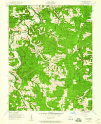
1954 · Winnipeg
USGS Topo · 1:24,000