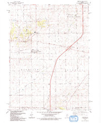
1993 Map of Compton
USGS Topo · Published 1993About this map
Compton anchors this agricultural landscape at the junction of the Old Railroad Grade and several key rural routes in the early 1990s. The village is flanked by the small settlements of The Burg and Roxbury, the latter situated near Interchange 82 as the modern highway system bypasses older rail-oriented hamlets. The terrain is defined by the gentle drainage patterns of Willow Creek and Big Bureau Creek, with legacy infrastructure like the Davis Landing Strip and Mathesius Park serving the local community. Genealogists will find interest in several localized burial grounds, including Brooklyn Cem and Fisk Cem, which dot the townships of Viola and Brooklyn. The map clearly illustrates the transition of the Illinois prairie from a steam-rail economy to one centered on regional road networks like Chicago Road and German Road.
Find a feature on this map
49 named features on this map. Tap any name to fly to it.
Don’t see what you’re looking for? This feature index may not catch every label — zoom into the map to look around manually.
Map Details
Editions of this 1993 Compton Map
This is the sole edition of this map. No revisions or reprints were ever made.
Other maps of this area

1934 · De Kalb
USGS Topo · 1:62,500

1937 · De Kalb
USGS Topo · 1:62,500

1951 · Earlville
USGS Topo · 1:62,500

1952 · Rochelle
USGS Topo · 1:62,500

1952 · Mendota
USGS Topo · 1:62,500

1958 · Aurora
USGS Topo · 1:250,000

1961 · Aurora
USGS Topo · 1:250,000
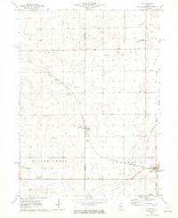
1971 · Lee
USGS Topo · 1:24,000
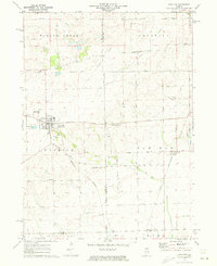
1971 · Paw Paw
USGS Topo · 1:24,000
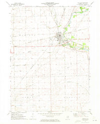
1971 · Earlville
USGS Topo · 1:24,000