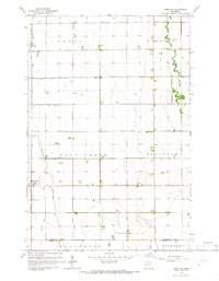
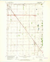
1964 Map of Comstock
USGS Topo · Published 1966About this map
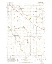
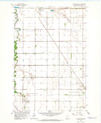
The Great Northern railroad cuts a straight line through the Red River Valley in the mid-1960s, anchoring the small agricultural settlements of Comstock and Rustad. This landscape in Clay County is defined by its meticulous water management system, featuring an extensive network of drainage infrastructure like County Ditch No 50 and County Ditch No 36 that crisscrosses the township boundaries of Holy Cross and Kurtz.
Find a feature on this map
17 named features on this map. Tap any name to fly to it.
Don’t see what you’re looking for? This feature index may not catch every label — zoom into the map to look around manually.
Map Details
Editions of this 1964 Comstock Map
This is the sole edition of this map. No revisions or reprints were ever made.
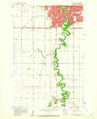
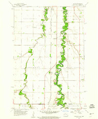
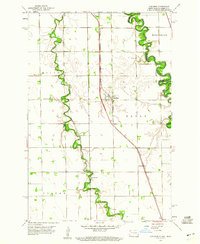
Other maps of this area

1895 · Fargo
USGS Topo · 1:125,000

1897 · Fargo
USGS Topo · 1:125,000

1953 · Fargo
USGS Topo · 1:250,000

1956 · Fargo
USGS Topo · 1:250,000
1959 · Fargo South
USGS Topo · 1:24,000
1959 · Hickson
USGS Topo · 1:24,000
1959 · Christine
USGS Topo · 1:24,000
1964 · Sabin
USGS Topo · 1:24,000
1964 · Baker
USGS Topo · 1:24,000
1964 · Glyndon South
USGS Topo · 1:24,000