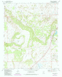
1971 Map of Concho Lake
USGS Topo · Published 1984About this map
Concho Lake serves as a central hydrological landmark in this high-desert landscape of eastern Arizona. The terrain transition is marked by the presence of Mormon Hill and the broad expanses of Critchlow Flat, while water sources like Concho Spring and Candelaria Spring highlight the historical importance of localized water points for ranching and early settlement. The map reveals a suburban-style development pattern emerging near the lake, with a network of named residential streets including Pine Lane and Apache Lane surrounding a Golf Course.
Find a feature on this map
41 named features on this map. Tap any name to fly to it.
Don’t see what you’re looking for? This feature index may not catch every label — zoom into the map to look around manually.
Map Details
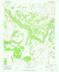
Editions of this 1971 Concho Lake Map
2 editions found
Other maps of this area

1886 · St Johns
USGS Topo · 1:250,000

1892 · St Johns
USGS Topo · 1:250,000

1954 · Saint Johns
USGS Topo · 1:250,000

1955 · Adamana 4 SW
USGS Topo · 1:24,000

1955 · Adamana 3 SE
USGS Topo · 1:24,000

1955 · Adamana 4 SE
USGS Topo · 1:24,000

1955 · Hunt
USGS Topo · 1:62,500

1957 · Saint Johns
USGS Topo · 1:250,000

1958 · Saint Johns
USGS Topo · 1:250,000

1962 · Saint Johns
USGS Topo · 1:250,000