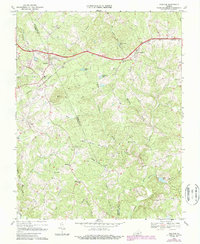
1968 Map of Concord
USGS Topo · Published 1987About this map
The Norfolk and Western railroad corridor shapes the northern landscape of this region, connecting the rural communities of Concord and Spout Spring. Settlement patterns follow the ridge lines and creek valleys of the Campbell Co Appomattox Co border, where small crossroads are defined by institutions such as Concord Sch and the Sherwill Community Center. The terrain is punctuated by the prominent Pilot Mtn, while several small reservoirs, including Concord Lake, Phoebe Lake, and Paradise Lake, reflect mid-century water management efforts.
Find a feature on this map
47 named features on this map. Tap any name to fly to it.
Don’t see what you’re looking for? This feature index may not catch every label — zoom into the map to look around manually.
Map Details
Editions of this 1968 Concord Map
2 editions found
Other maps of this area

1892 · Lynchburg
USGS Topo · 1:125,000

1892 · Appomattox
USGS Topo · 1:125,000

1944 · Lynchburg
USGS Topo · 1:62,500

1947 · Roanoke
USGS Topo · 1:250,000

1950 · Lynchburg
USGS Topo · 1:62,500

1956 · Brookneal
USGS Topo · 1:62,500

1956 · Gladys
USGS Topo · 1:62,500

1958 · Appomattox
USGS Topo · 1:62,500

1959 · Roanoke
USGS Topo · 1:250,000

1963 · Roanoke
USGS Topo · 1:250,000