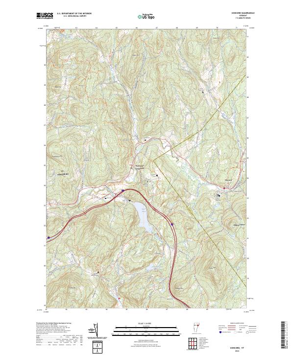
2024 Map of Concord
USGS Topo · Published 2024About this map
Moose River carves through the heart of this landscape, anchoring the settlements of Concord and East Saint Johnsbury. The terrain is defined by a series of prominent peaks and ridges, including Saddleback Mtn and Kirby Mtn, which frame the agricultural and residential pockets of the Chesterfield Valley. The map reveals a high concentration of small family and community burial grounds, such as Hill Cem and the Bowers Wheeler Cem, reflecting the deep-rooted settlement history of the region. Water remains a central feature of the topography, with Stiles Pond and Grays Pond providing significant landmarks among the network of brooks and hollows. The presence of numerous local roads like Daniels Farm Rd and Blodgett Farm Rd suggests a landscape shaped by generations of upland farming and rural life at the border of Caledonia Co and Essex Co.
Find a feature on this map
92 named features on this map. Tap any name to fly to it.
Don’t see what you’re looking for? This feature index may not catch every label — zoom into the map to look around manually.
Map Details
Editions of this 2024 Concord Map
This is the sole edition of this map. No revisions or reprints were ever made.
Other maps of this area

1931 · Littleton
USGS Topo · 1:62,500

1932 · Littleton
USGS Topo · 1:48,000

1935 · Littleton
USGS Topo · 1:62,500

1935 · Lyndonville
USGS Topo · 1:48,000

1938 · St. Johnsbury
USGS Topo · 1:48,000

1939 · Lyndonville
USGS Topo · 1:62,500

1943 · St. Johnsbury
USGS Topo · 1:62,500
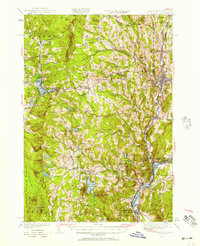
1949 · St. Johnsbury
USGS Topo · 1:62,500

1950 · Lake Champlain
USGS Topo · 1:250,000

1950 · Lewiston
USGS Topo · 1:250,000