
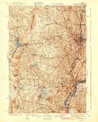
1943 Map of St. Johnsbury
USGS Topo · Published 1943About this map
The Bayley-Hazen Military Road cuts a diagonal path through this landscape, tracing an eighteenth-century route across the northern Vermont hills. In the early 1940s, the region was characterized by small upland agricultural centers and river-driven industry. St Johnsbury serves as the primary hub, where the St Johnsbury and Lake Champlain RR, Canadian Pacific Ry, and Maine Central RR converge along the riverbanks. The Connecticut River at the southern edge of the survey displays significant infrastructure, notably the Frank D Comerford Hydro-Electric Plant near Inwood Sta. Numerous family-named hills and local landmarks, such as Goslants Mill and Pumpkin Hill, reflect a well-established pattern of rural settlement. The western portion of the map is dominated by the wilder terrain of the Groton State Forest, punctuated by numerous ponds and the expansive Peacham Bog.
Find a feature on this map
142 named features on this map. Tap any name to fly to it.
Don’t see what you’re looking for? This feature index may not catch every label — zoom into the map to look around manually.
Map Details
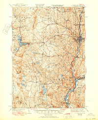
Editions of this 1943 St. Johnsbury Map
3 editions found
Other maps of this area

1928 · Hardwick
USGS Topo · 1:62,500

1929 · Moosilauke
USGS Topo · 1:62,500

1931 · Littleton
USGS Topo · 1:62,500

1931 · Woodsville
USGS Topo · 1:48,000

1932 · Littleton
USGS Topo · 1:48,000

1932 · Moosilauke
USGS Topo · 1:62,500

1934 · Hardwick
USGS Topo · 1:48,000

1935 · Woodsville
USGS Topo · 1:62,500

1935 · Littleton
USGS Topo · 1:62,500

1935 · Lyndonville
USGS Topo · 1:48,000