
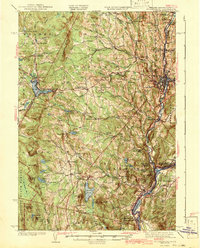
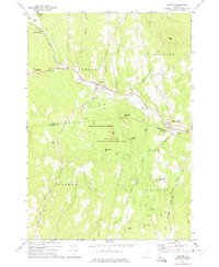
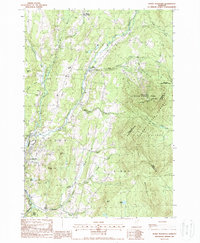
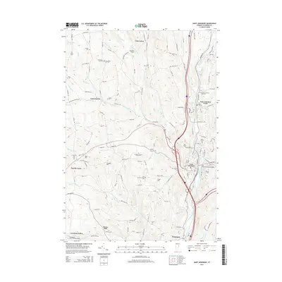
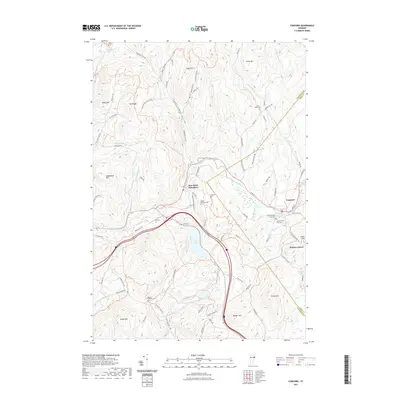
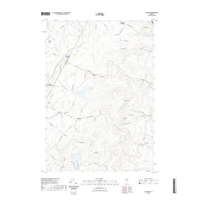
1943 Map of St. Johnsbury
USGS Topo · Published 1950About this map
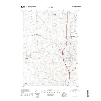
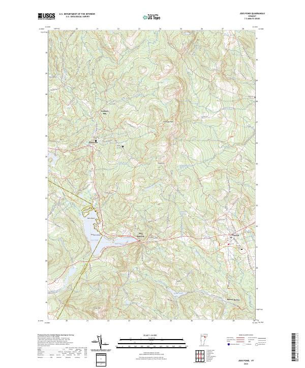
St Johnsbury serves as the industrial and transportation nexus of this Vermont landscape, where the St Johnsbury and Lake Champlain Railroad and Canadian Pacific Railway converge. The terrain is defined by the high ridges of the Kittredge Hills and numerous peaks like Devils Hill and Cow Hill, giving way to a water-rich environment featuring Joes Pond, Harvey Lake, and the extensive Peacham Bog.
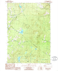
Find a feature on this map
138 named features on this map. Tap any name to fly to it.
Don’t see what you’re looking for? This feature index may not catch every label — zoom into the map to look around manually.
Map Details
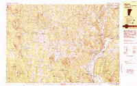
Editions of this 1943 St. Johnsbury Map
3 editions found
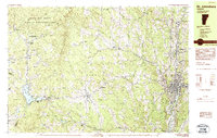
Historical Maps of Saint Johnsbury Through Time
49 maps found

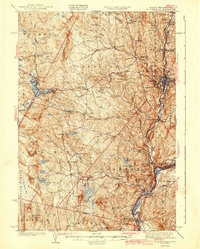
1938 St. Johnsbury
Caledonia County, VT
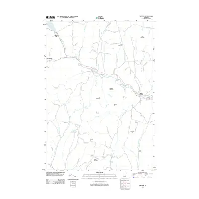
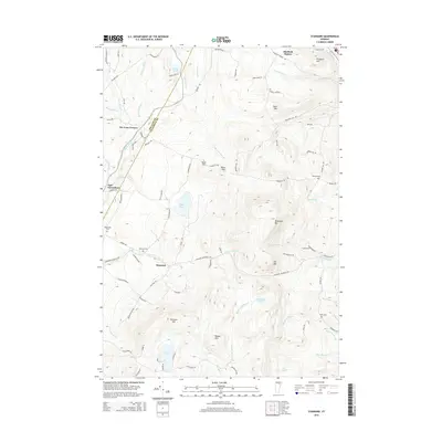
1943 St. Johnsbury
Caledonia County, VT
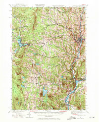
1949 St. Johnsbury
Caledonia County, VT
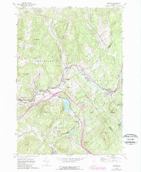
1967 Concord
Caledonia County, VT
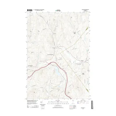
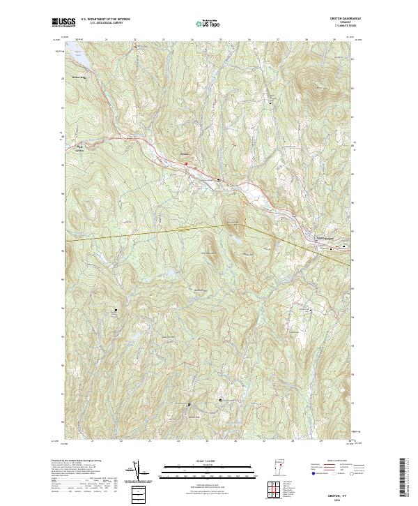
1973 Groton
Caledonia County, VT
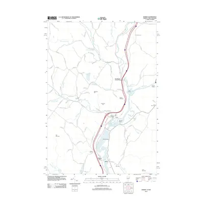
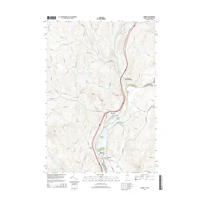
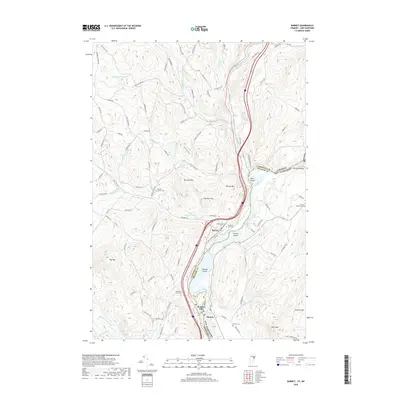
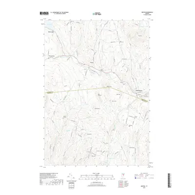
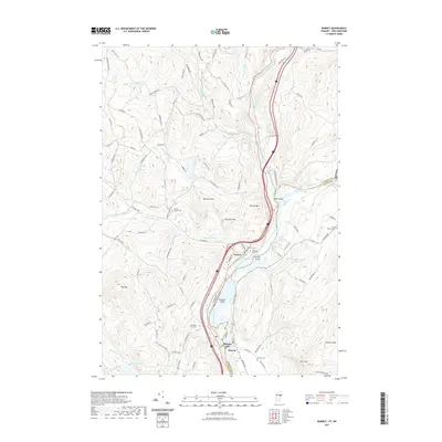
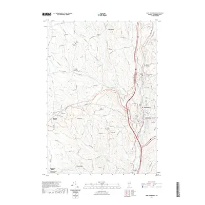
1983 Barnet
Caledonia County, VT
1983 St. Johnsbury
Caledonia County, VT
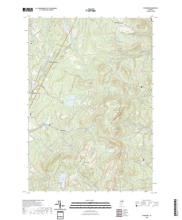
1986 Stannard
Caledonia County, VT
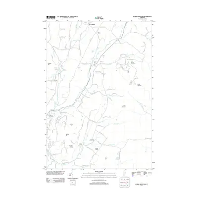
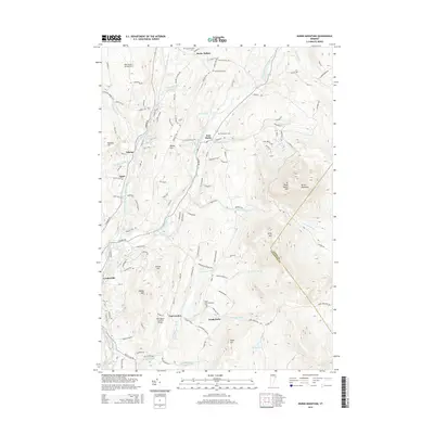
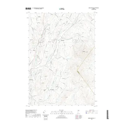
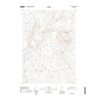
1988 Burke Mountain
Caledonia County, VT
2012 Barnet
Caledonia County, VT
2012 Burke Mountain
Caledonia County, VT
2012 Concord
Caledonia County, VT
2012 Groton
Caledonia County, VT
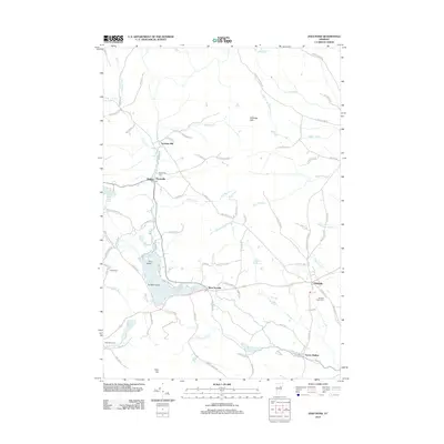
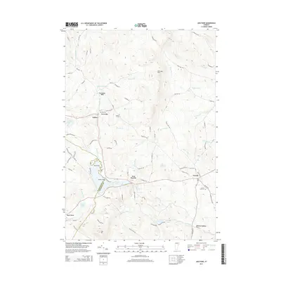
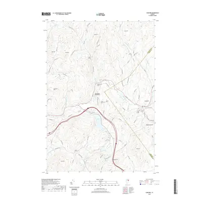
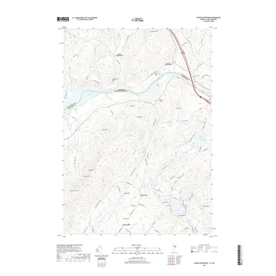
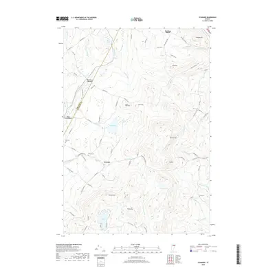
2012 Joes Pond
Caledonia County, VT
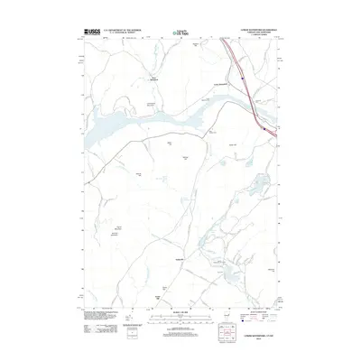
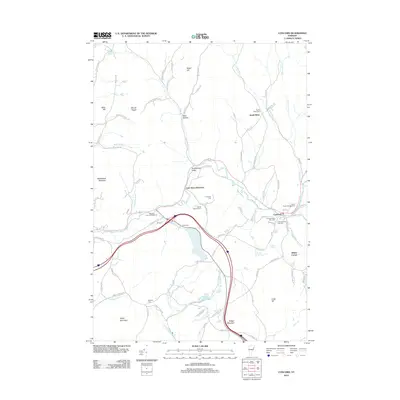
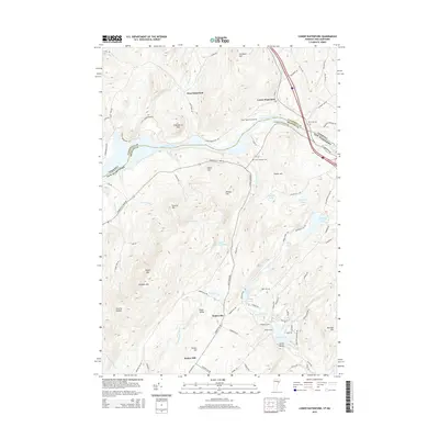
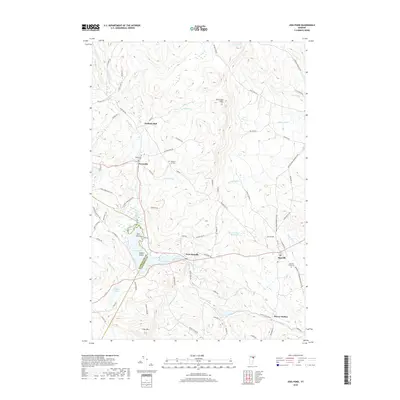
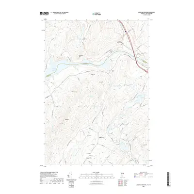
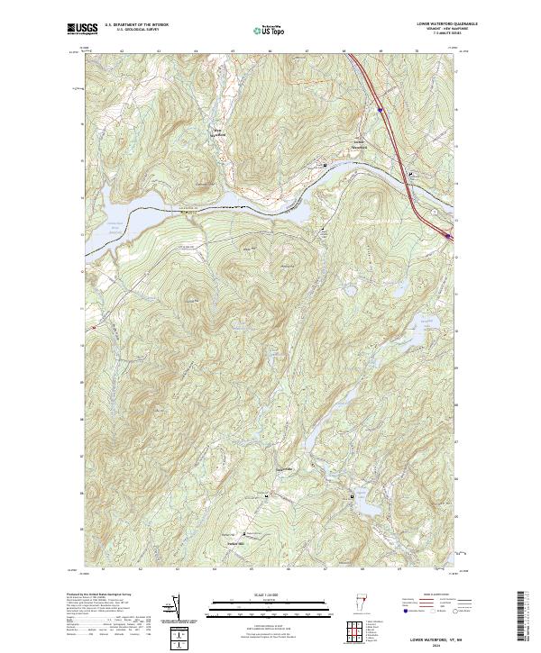
2012 Lower Waterford
Caledonia County, VT
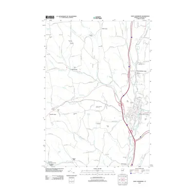
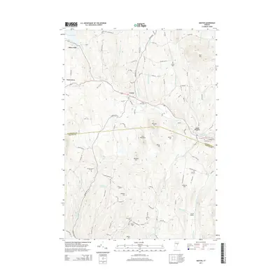
2012 Saint Johnsbury
Caledonia County, VT
2012 Stannard
Caledonia County, VT
2015 Barnet
Caledonia County, VT
2015 Burke Mountain
Caledonia County, VT
2015 Concord
Caledonia County, VT
2015 Groton
Caledonia County, VT
2015 Joes Pond
Caledonia County, VT
2015 Lower Waterford
Caledonia County, VT
2015 Saint Johnsbury
Caledonia County, VT
2015 Stannard
Caledonia County, VT
2018 Barnet
Caledonia County, VT
2018 Burke Mountain
Caledonia County, VT
2018 Concord
Caledonia County, VT
2018 Groton
Caledonia County, VT
2018 Joes Pond
Caledonia County, VT
2018 Lower Waterford
Caledonia County, VT
2018 Saint Johnsbury
Caledonia County, VT
2018 Stannard
Caledonia County, VT
2021 Barnet
Caledonia County, VT
2021 Burke Mountain
Caledonia County, VT
2021 Concord
Caledonia County, VT
2021 Groton
Caledonia County, VT
2021 Joes Pond
Caledonia County, VT
2021 Lower Waterford
Caledonia County, VT
2021 Saint Johnsbury
Caledonia County, VT
2021 Stannard
Caledonia County, VT
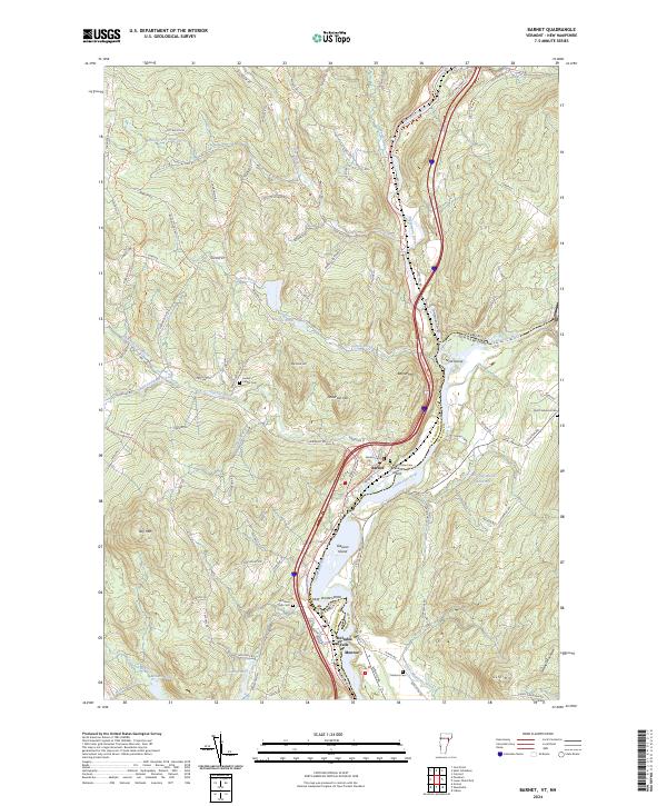
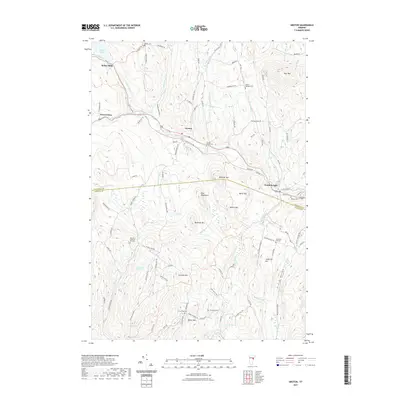
2024 Barnet
Caledonia County, VT
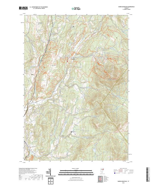
2024 Burke Mountain
Caledonia County, VT
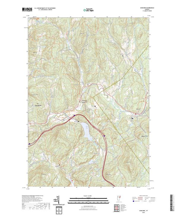
2024 Concord
Caledonia County, VT
2024 Groton
Caledonia County, VT
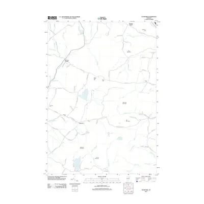
2024 Joes Pond
Caledonia County, VT
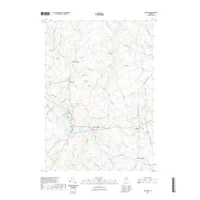
2024 Lower Waterford
Caledonia County, VT
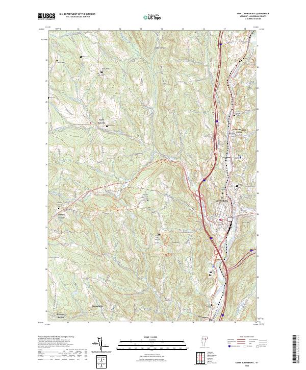
2024 Saint Johnsbury
Caledonia County, VT
2024 Stannard
Caledonia County, VT