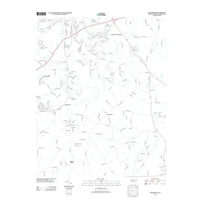
2013 Map of Concord SE
USGS Topo · Published 2013About this map
Rocky River and its numerous tributaries, including Reedy Cr and Irish Buffalo Cr, carve through the landscape south of Concord in this 2013 record. The map identifies several significant early rural centers and landmarks that reflect the area's milling and mercantile history, such as Pharrs Mill on Coddle Cr and the settlement of Pioneer Mills further south. Modern residential expansion is evident through a dense network of suburban streets like Saddlewood Cir SW and Stonecrest Cir, which contrast with the older rural landmarks like Flows Store and Faggarts Crossroads. This survey documents a transitional era where traditional Cabarrus County landmarks sit alongside new development, while features like Jackson Training School Lake and Collins Pond provide distinct points of reference for local historians and genealogists.
Find a feature on this map
226 named features on this map. Tap any name to fly to it.
Don’t see what you’re looking for? This feature index may not catch every label — zoom into the map to look around manually.
Map Details
Editions of this 2013 Concord SE Map
This is the sole edition of this map. No revisions or reprints were ever made.
Other maps of this area

1941 · Charlotte
USGS Topo · 1:125,000

1942 · Charlotte
USGS Topo · 1:125,000

1949 · Kannapolis
USGS Topo · 1:24,000

1949 · Harrisburg
USGS Topo · 1:24,000

1949 · Wilgrove
USGS Topo · 1:24,000

1949 · Midland
USGS Topo · 1:24,000

1949 · Concord SE
USGS Topo · 1:24,000

1950 · Concord
USGS Topo · 1:24,000

1953 · Charlotte
USGS Topo · 1:250,000

1954 · Charlotte
USGS Topo · 1:250,000