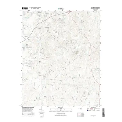
2016 Map of Concord SE
USGS Topo · Published 2016About this map
Rocky River and its numerous tributaries, including Coddle Creek and Cold Water Creek, define the topography of this Cabarrus County landscape. The southern outskirts of Concord and the growing community of Harrisburg anchor the northern and western margins, while the rural character of the region is preserved in older settlements such as Pioneer Mills and Midland. The map illustrates a transition from the industrial and residential corridors of Concord toward more open land near Flows Store. Local landmarks like Jackson Park and the Jackson Training School Lake reflect the community's established public spaces. Tracing the paths of Irish Buffalo Creek and Back Creek reveals the historical importance of water resources to the area's development, providing a clear view of the modern road network superimposed over these long-established natural boundaries.
Find a feature on this map
175 named features on this map. Tap any name to fly to it.
Don’t see what you’re looking for? This feature index may not catch every label — zoom into the map to look around manually.
Map Details
Editions of this 2016 Concord SE Map
This is the sole edition of this map. No revisions or reprints were ever made.
Other maps of this area

1941 · Charlotte
USGS Topo · 1:125,000

1942 · Charlotte
USGS Topo · 1:125,000

1949 · Kannapolis
USGS Topo · 1:24,000

1949 · Harrisburg
USGS Topo · 1:24,000

1949 · Wilgrove
USGS Topo · 1:24,000

1949 · Midland
USGS Topo · 1:24,000

1949 · Concord SE
USGS Topo · 1:24,000

1950 · Concord
USGS Topo · 1:24,000

1953 · Charlotte
USGS Topo · 1:250,000

1954 · Charlotte
USGS Topo · 1:250,000