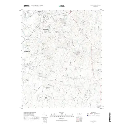
2019 Map of Concord SE
USGS Topo · Published 2019About this map
Pioneer Mills and Pharrs Mill anchor a landscape defined by the branching waterways of Cabarrus County. The Rocky River winds through the center of the region, joined by several significant tributaries including Coddle Creek, Reedy Creek, and Cold Water Creek. These watercourses historically dictated the placement of early industry and commerce, as evidenced by the namesake mill sites and the established trade node at Flows Store.
Find a feature on this map
197 named features on this map. Tap any name to fly to it.
Don’t see what you’re looking for? This feature index may not catch every label — zoom into the map to look around manually.
Map Details
Editions of this 2019 Concord SE Map
This is the sole edition of this map. No revisions or reprints were ever made.
Other maps of this area

1941 · Charlotte
USGS Topo · 1:125,000

1942 · Charlotte
USGS Topo · 1:125,000

1949 · Kannapolis
USGS Topo · 1:24,000

1949 · Harrisburg
USGS Topo · 1:24,000

1949 · Wilgrove
USGS Topo · 1:24,000

1949 · Midland
USGS Topo · 1:24,000

1949 · Concord SE
USGS Topo · 1:24,000

1950 · Concord
USGS Topo · 1:24,000

1953 · Charlotte
USGS Topo · 1:250,000

1954 · Charlotte
USGS Topo · 1:250,000