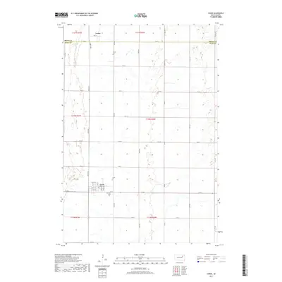
2017 Map of Conde
USGS Topo · Published 2017About this map
Conde stands as the primary settlement on this Spink County prairie landscape, organized around a traditional grid with streets such as Cedar St and Maple St. The town is surrounded by agricultural land and significant genealogical sites, including the Conde Cem and Saint John's Cem located just to the south. Further north, the smaller community of Verdon marks the crossing near the Brown and Spink County line, accompanied by its own Verdon Cem. The terrain is characterized by the meandering path of Dry Run, which cuts through the township sections alongside a well-defined network of rural roads like Co Rd 6 and Co Rd 27. This layout reflects a long-established pattern of Great Plains settlement where small town centers serve the surrounding family farmsteads.
Find a feature on this map
27 named features on this map. Tap any name to fly to it.
Don’t see what you’re looking for? This feature index may not catch every label — zoom into the map to look around manually.
Map Details
Editions of this 2017 Conde Map
This is the sole edition of this map. No revisions or reprints were ever made.
Other maps of this area

1894 · Conde
USGS Topo · 1:62,500

1895 · Aberdeen
USGS Topo · 1:125,000

1953 · Groton SW
USGS Topo · 1:24,000

1953 · Milbank
USGS Topo · 1:250,000

1954 · Ferney
USGS Topo · 1:24,000

1954 · Aberdeen
USGS Topo · 1:250,000

1956 · Aberdeen
USGS Topo · 1:250,000

1958 · Milbank
USGS Topo · 1:250,000
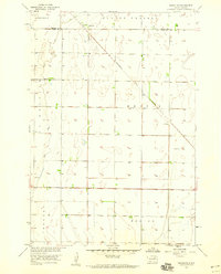
1958 · Randolph
USGS Topo · 1:24,000
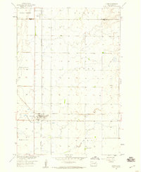
1958 · Conde
USGS Topo · 1:24,000