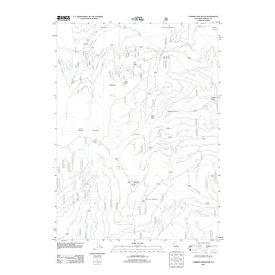
2012 Map of Condrey Mountain
USGS Topo · Published 2012About this map
Condrey Mountain dominates the high-altitude landscape of northern Siskiyou County, where the Klamath National Forest defines the terrain. The 2012 survey illustrates a network of forest service roads, including Forest Rte 500 and Forest Rte 40S01, providing access to remote camps and pastures. Key points of human activity are centered at Buckhorn Camp and Deer Camp, while the Dry Lake Lookout on Dry Lake Mountain serves as a vital vantage point for the region.
Find a feature on this map
44 named features on this map. Tap any name to fly to it.
Don’t see what you’re looking for? This feature index may not catch every label — zoom into the map to look around manually.
Map Details
Editions of this 2012 Condrey Mountain Map
This is the sole edition of this map. No revisions or reprints were ever made.
Other maps of this area

1886 · Shasta
USGS Topo · 1:250,000

1891 · Ashland
USGS Topo · 1:250,000

1893 · Ashland
USGS Topo · 1:250,000

1894 · Shasta
USGS Topo · 1:250,000

1897 · Ashland
USGS Topo · 1:250,000

1908 · Grants Pass
USGS Topo · 1:125,000

1914 · Seiad
USGS Topo · 1:125,000

1922 · Seiad
USGS Topo · 1:125,000

1932 · Yreka
USGS Topo · 1:96,000

1938 · Medford
USGS Topo · 1:125,000