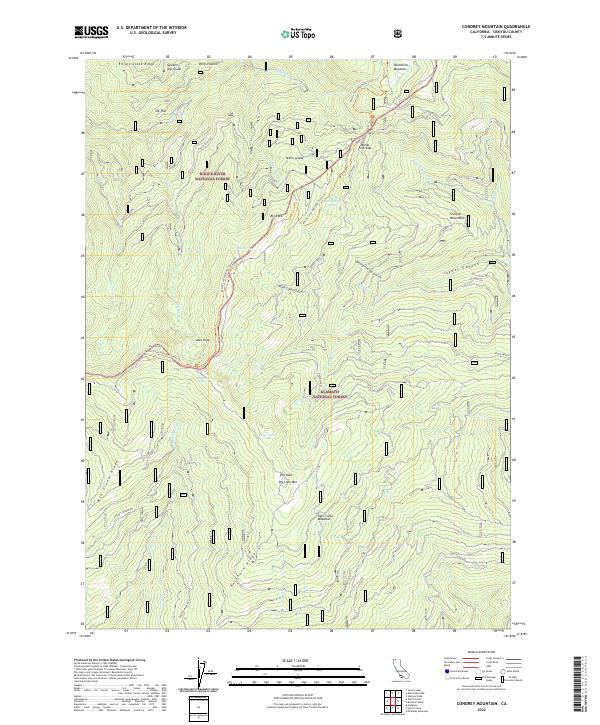
2022 Map of Condrey Mountain
USGS Topo · Published 2022About this map
The Pacific Crest National Scenic Trl winds through the high-elevation divide where the Rogue River National Forest and Klamath National Forest meet. This 2022 survey captures the wilderness character of the Siskiyou Mountains, a region defined by steep drainages like Toms Cabin Gulch and Jaynes Canyon. Important water sources for backcountry travelers and wildlife are documented at Bearground Spring and Buckhorn Spring, while the landscape is punctuated by notable clearings such as Donomore Meadows and Deer Camp Meadows. High points like Dry Lake Mtn and the sheer Big Rock dominate the local topography. This modern data set provides an essential baseline for navigating the complex system of forest ridges, from Elliott Creek Ridge to Mid Creek Ridge, and the network of streams that feed the regional watershed.
Find a feature on this map
45 named features on this map. Tap any name to fly to it.
Don’t see what you’re looking for? This feature index may not catch every label — zoom into the map to look around manually.
Map Details
Editions of this 2022 Condrey Mountain Map
This is the sole edition of this map. No revisions or reprints were ever made.
Other maps of this area

1886 · Shasta
USGS Topo · 1:250,000

1891 · Ashland
USGS Topo · 1:250,000

1893 · Ashland
USGS Topo · 1:250,000

1894 · Shasta
USGS Topo · 1:250,000

1897 · Ashland
USGS Topo · 1:250,000

1908 · Grants Pass
USGS Topo · 1:125,000

1914 · Seiad
USGS Topo · 1:125,000

1922 · Seiad
USGS Topo · 1:125,000

1932 · Yreka
USGS Topo · 1:96,000

1938 · Medford
USGS Topo · 1:125,000